Pilot Point Preserve
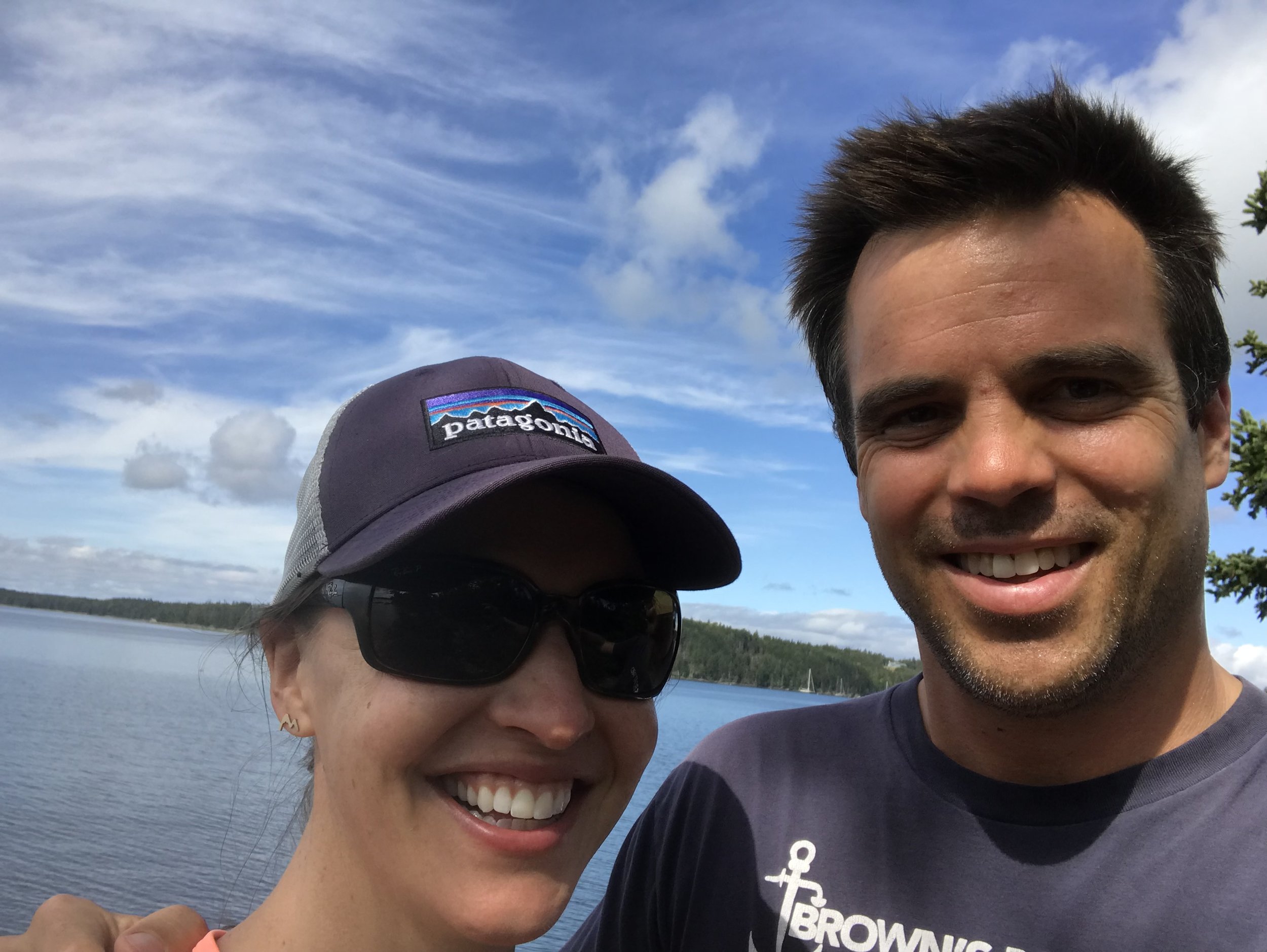
The Pilot Point Preserve is something I found with my friend Nick a few years back. We both love Brooksville, and have extensive roots there. Nick, along with Hugh, was one of the first of my friends to commit to Maine, a bold action based on his history and lack of commitment. Nick went all in on Brooksville by moving to Portland right out of college without a job, and figuring out how to make a living, buying an apartment, and creating a life in the state all to be closer to Brooksville. Weekends from early Spring to late Fall were spent in Brooksville, and Portland was always the closest place he could be and still make a living. So he went all in. Doubled down.
Let me preface this by admitting we were trespassing. Guilty as charged. It was fall, and as far as I am concerned, trespassing is allowed in Brooksville in the offseason. My mom calls it ‘porching’, when you go to someone’s house and hang out on their porch, ideally with a killer view, when you know they are not going to be there. Not sure I want people doing it to us, but I’m sure they do.
Since we both love Brooksville, and are neighbors in Buck’s Harbor, there has always been a fascination with the abandoned house across Lem’s cove. It’s been there since I can remember, and been seeminly abandoned since I can remember. I’ve learned more about it since, but Nick and I were looking for a daytrip adventure, and that was the decision that day. Nick told me on the way down that the house is owned by the Hazzi’s, and that his mom had relayed that they used to be regular visitors to Brooksville until they suddenly left the US for Nova Scotia during the Vietnam War era. Not sure if they were conscientious objectors, draft dodgers or what, but they were unhappy with the politics and did something about it. Seems relevant in this era since I hear a lot of people talking about it and threatening, although few actually take action.
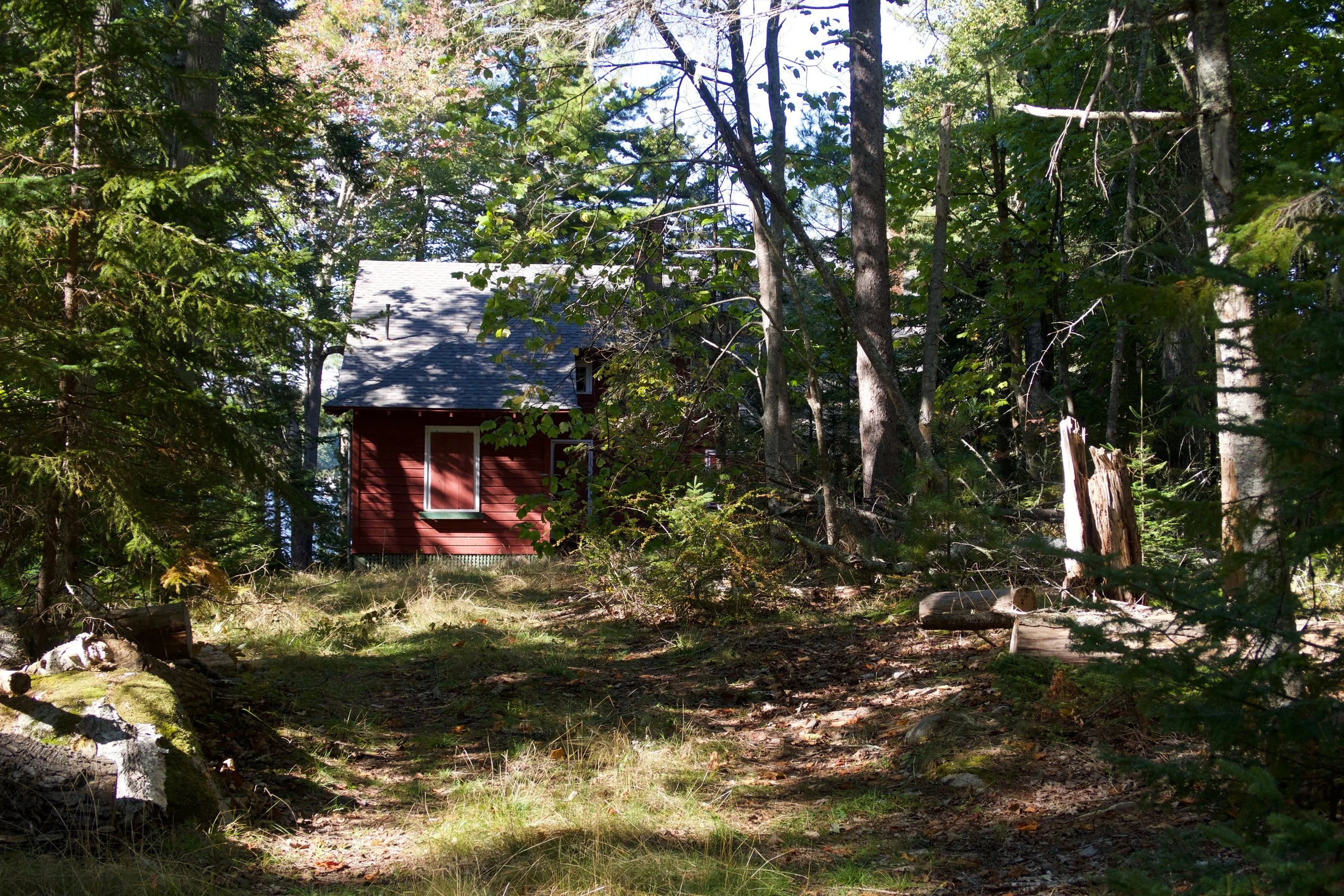
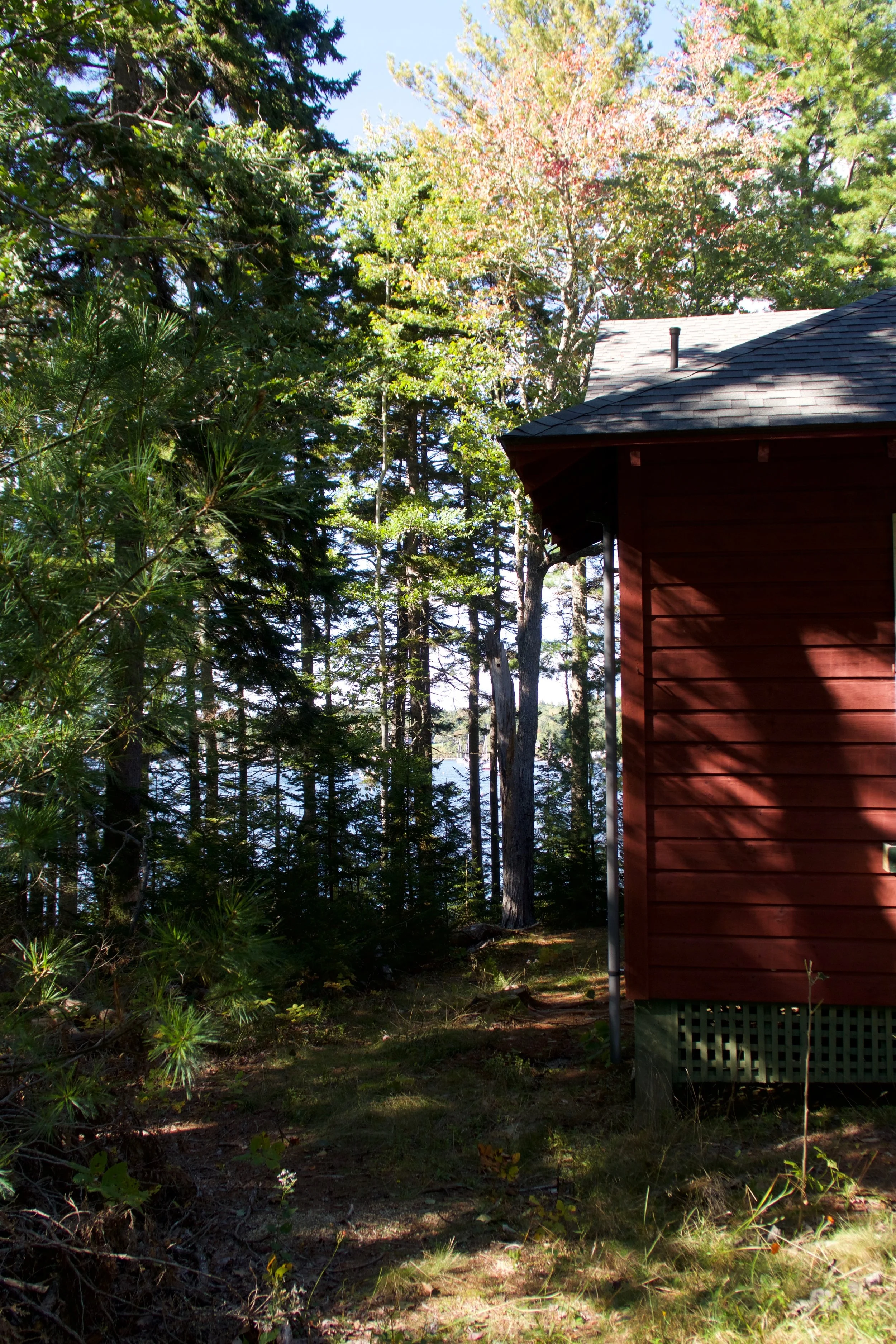
Anyway, we went down to check out the house and explore a place our houses both looked at across the harbor. The house was in good shape. A traditional summer cottage, not winterized, with some cool detail work you could tell took some efforts by the builders, whenever that was. It was begging to be entered, but they had done a great job securing doors and windows with boards and shutters, as you would if you didn’t plan to use it for 30 years. It was in surprisingly good shape, although there way no way to look inside, or even get up on the front porch since the stairs were removed and the railings were high.
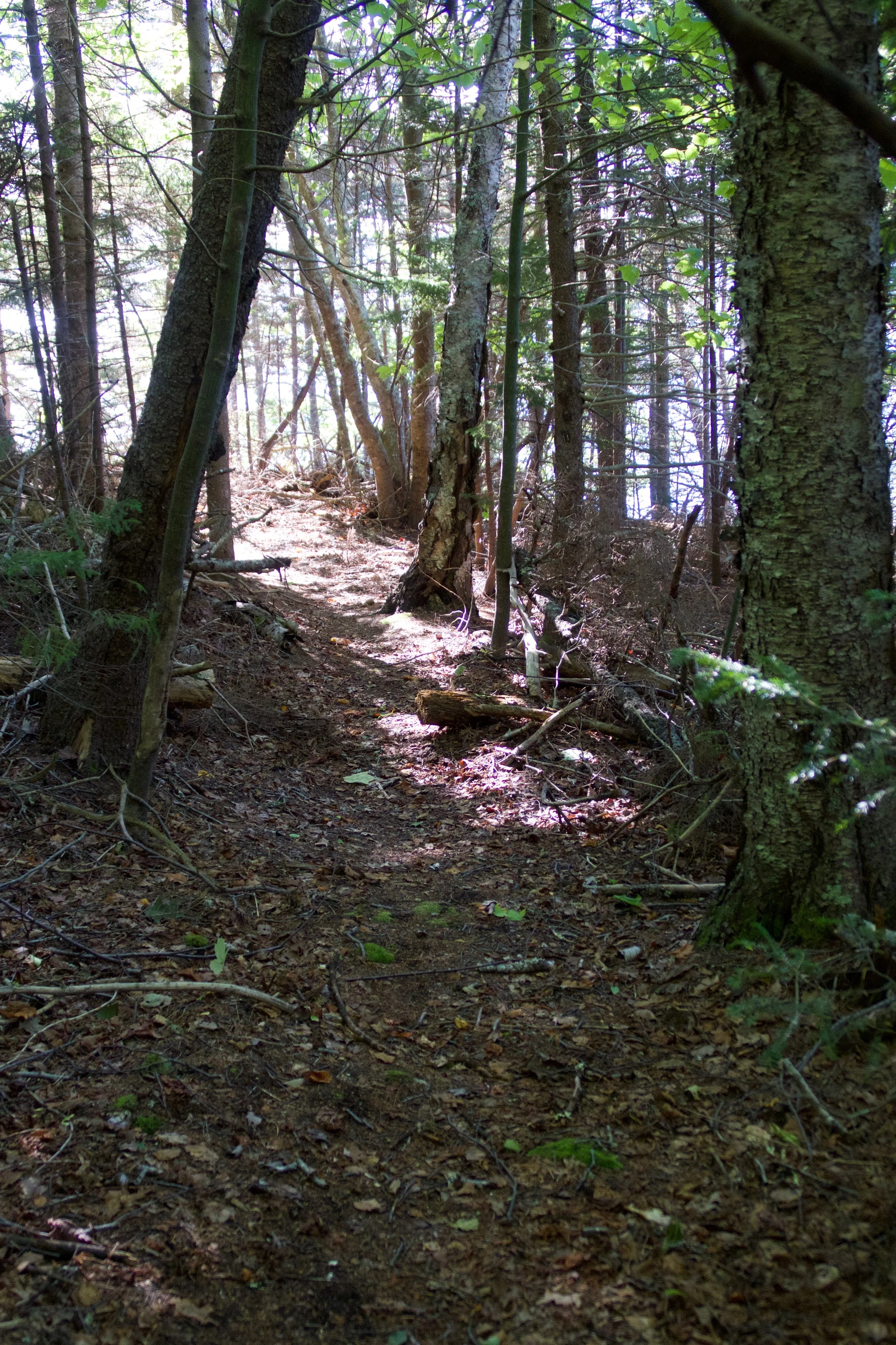
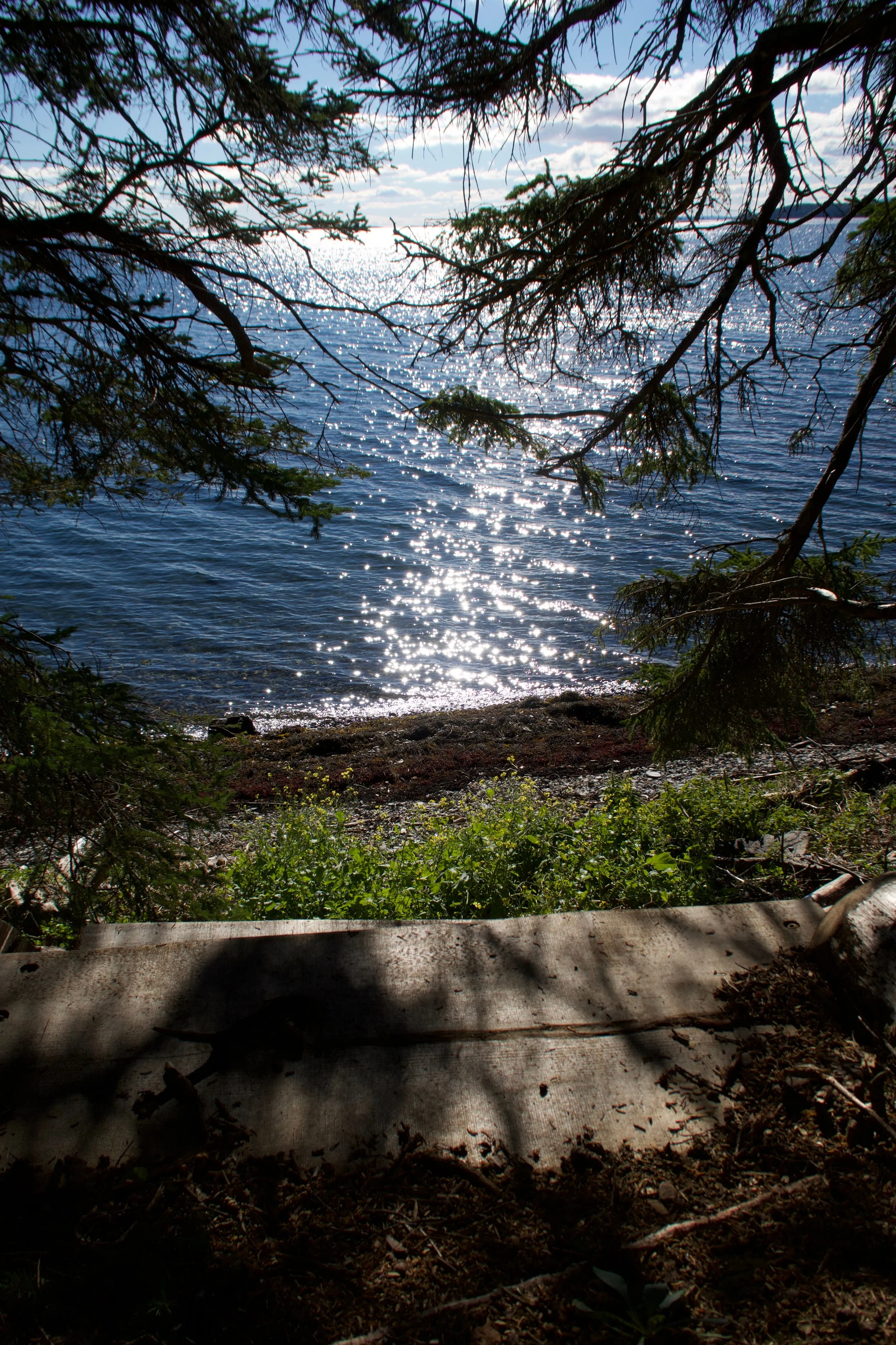
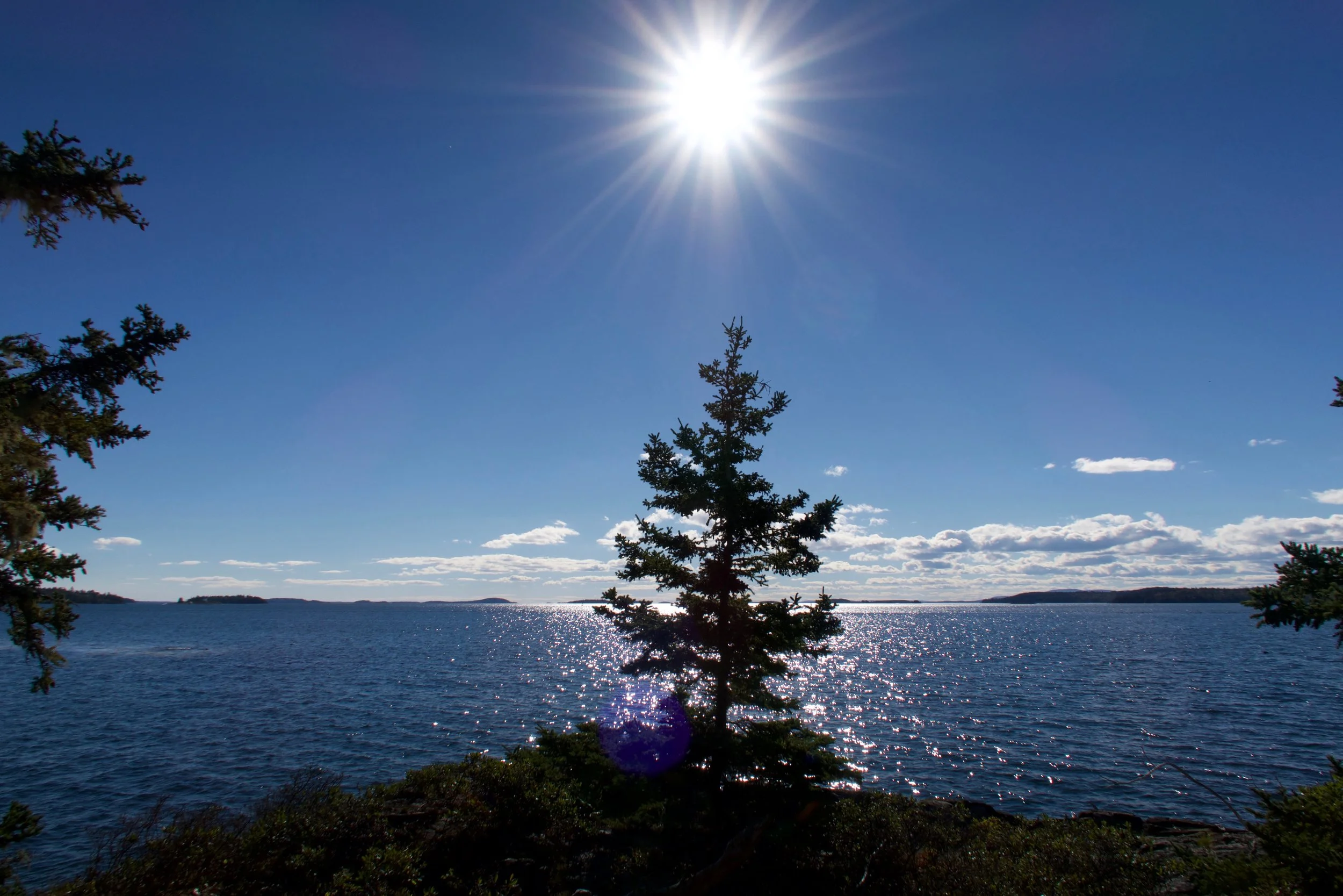
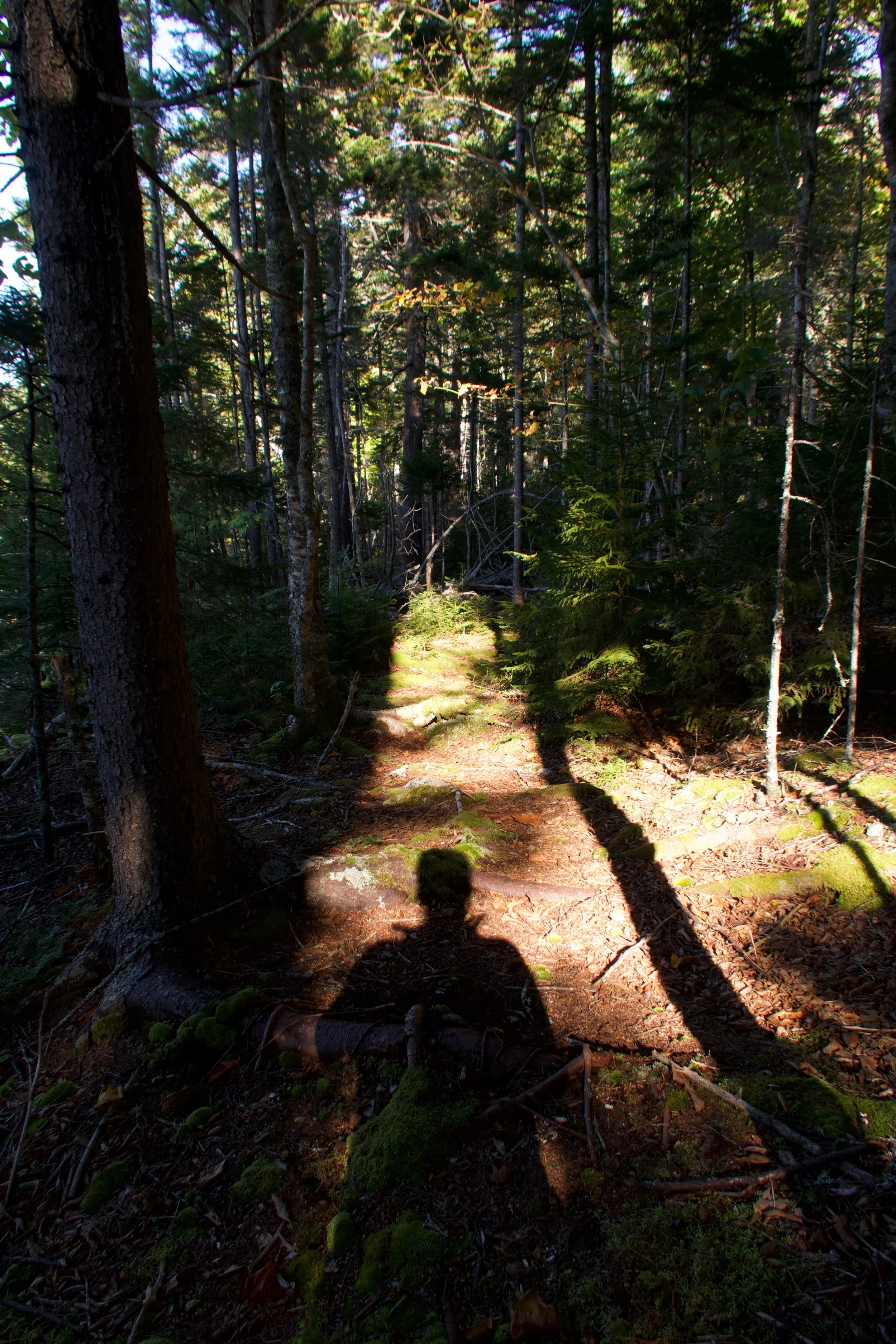
After inspecting the house, we went down towards the water to see the view that had long since overgrown. As we walked down, Nick noticed a path that led West along the shore. It was a great find, like when you blur your eyes and see a game trail you can follow into a wilderness, but as we continued, we realized this was a real path, with clear markings and one that had obviously been cleared within the season. We continued on the path, both amazed. It is rare you get a completely new perspective on something so familiar. I had been past this point many times in boats, and knew the opposite shore like the back of my hand, literally. It seemed like an amazing find, and Nick and I both realized the significance immediately.
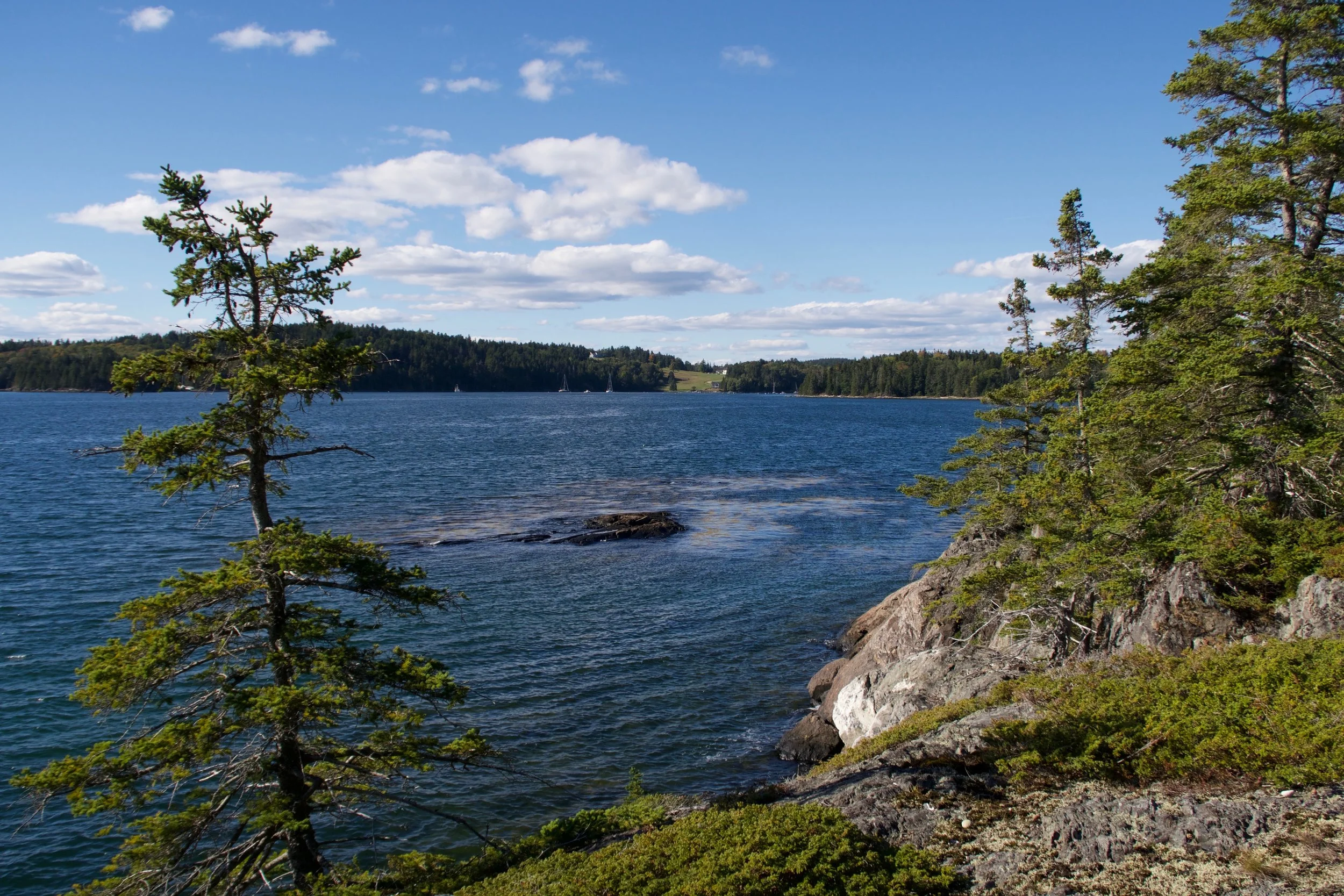
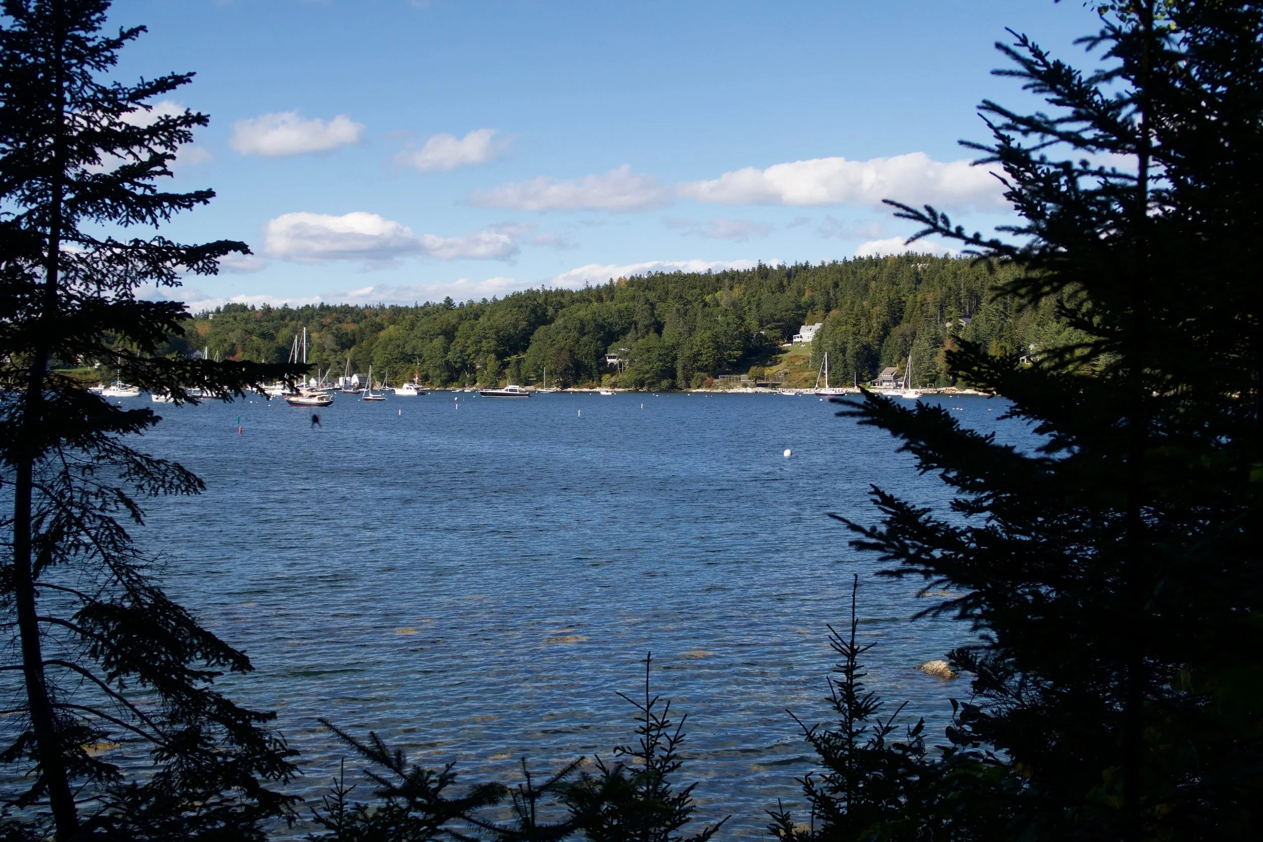
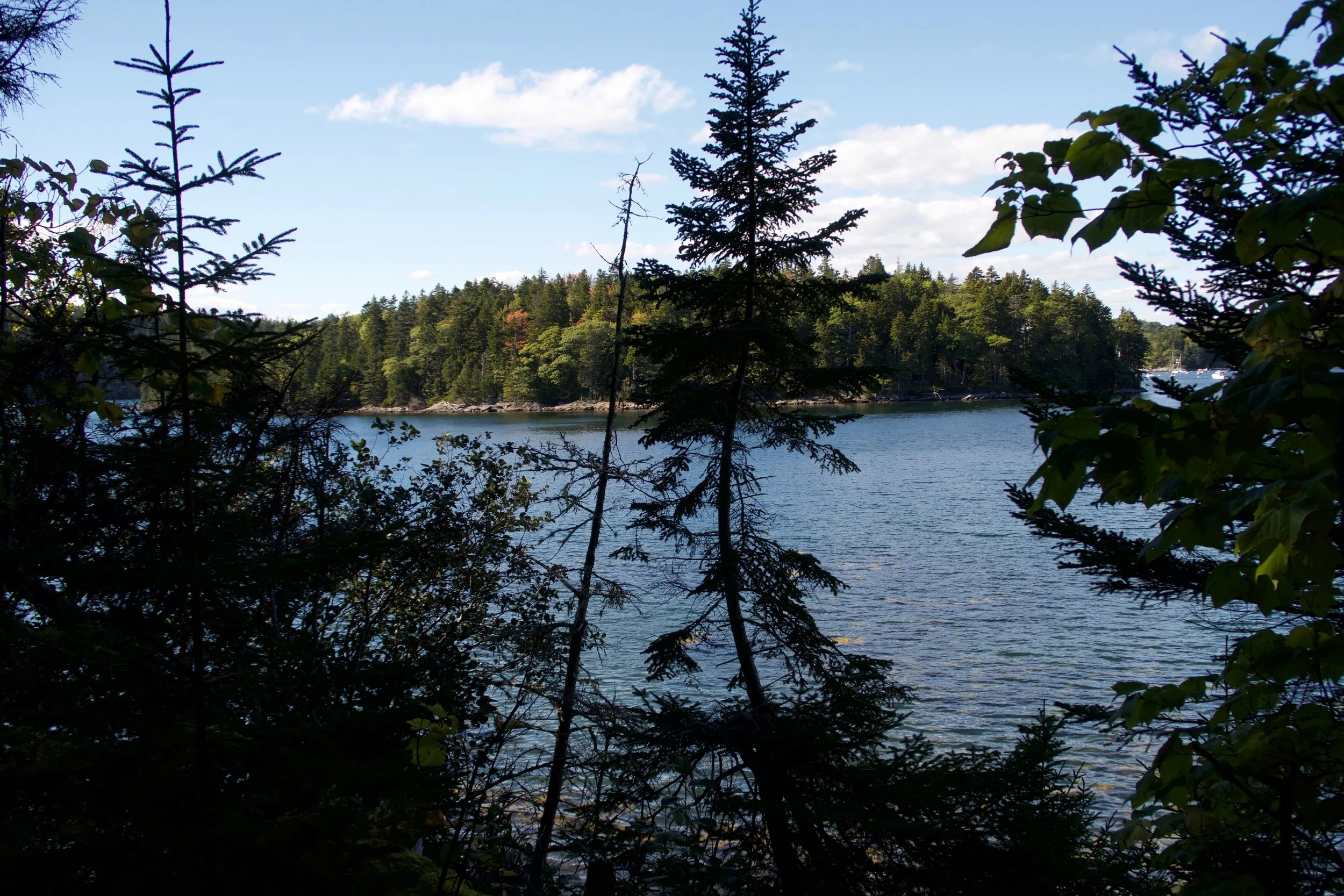
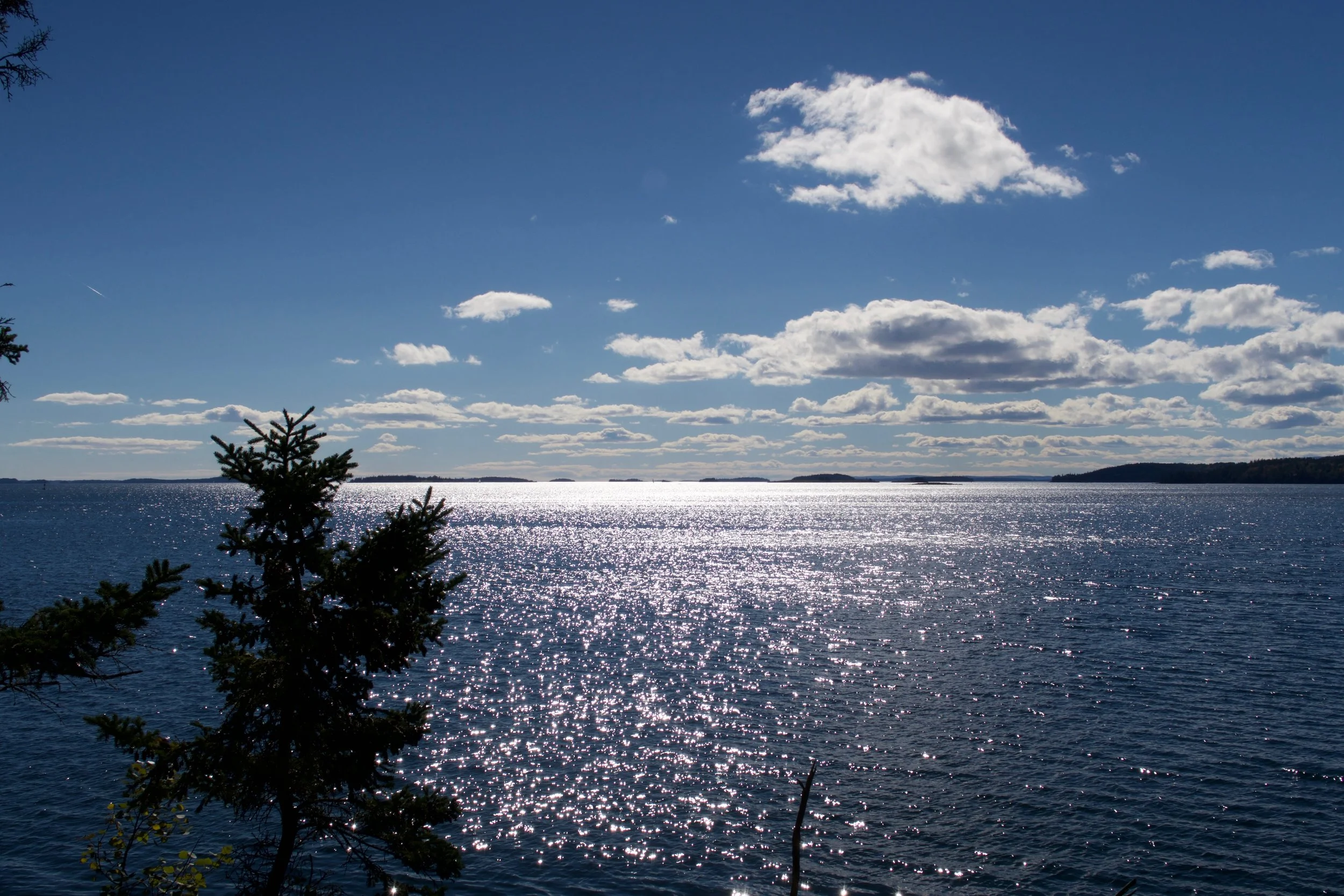
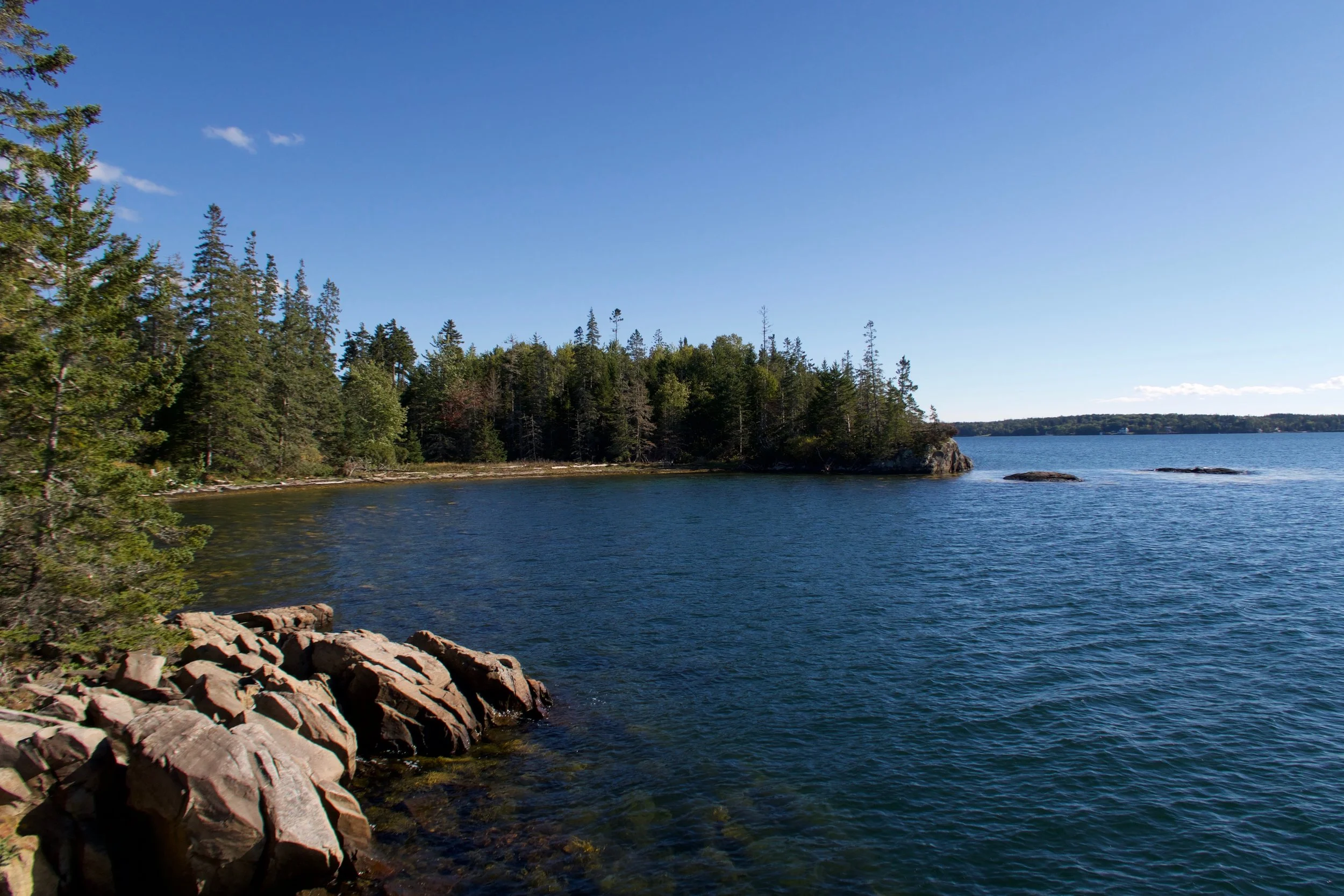
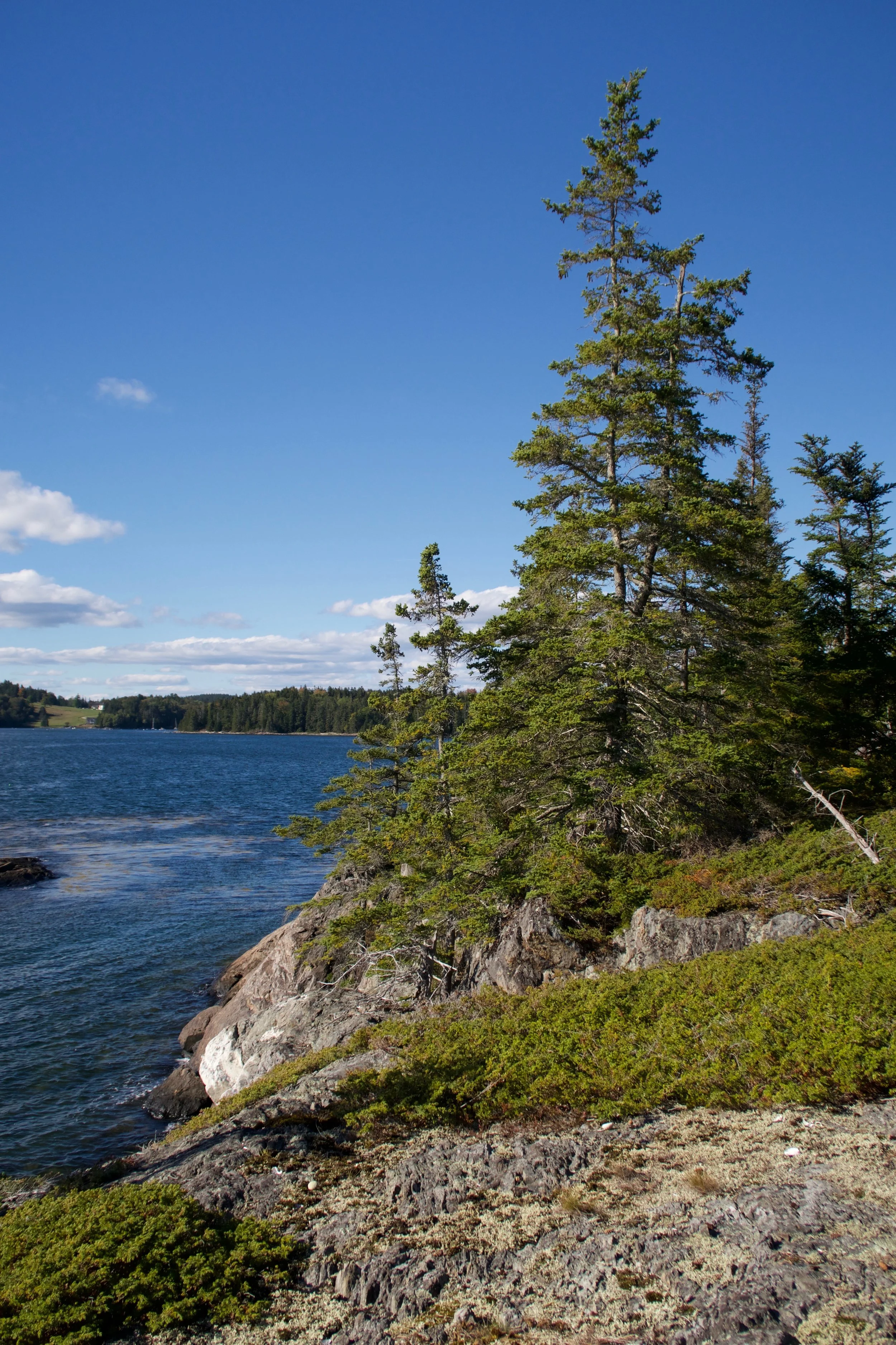
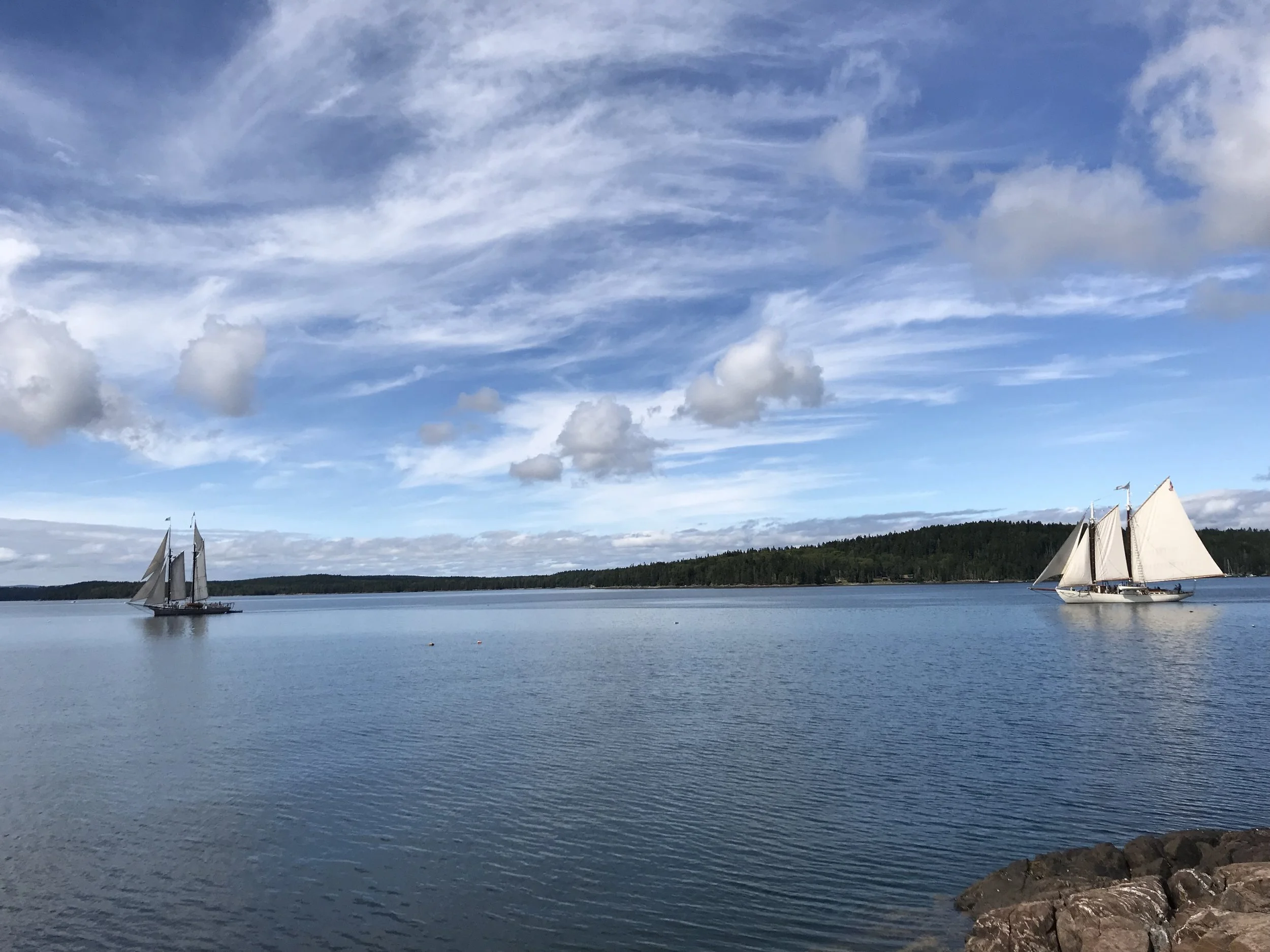
We continued around the point to the bay side from the harbor, the point that created the east entrance to the harbor with Harbor Island. The path continued along the shore, just above the beach on the point. What a spectacular piece of property. A house, dock and boats on the protected hurricane hole of Lem’s Cove and a short walk on private property to the bay side with a view on Pumpkin Island and beyond. My grandfather always called Buck’s Harbor the ‘Lord’s Pocket’ because that’s how the captain’s referred to it due to the protection and muddy bottom for secure anchorage. Nick and I agreed this was the best property in the harbor, the gem in the Lord’s Pocket.
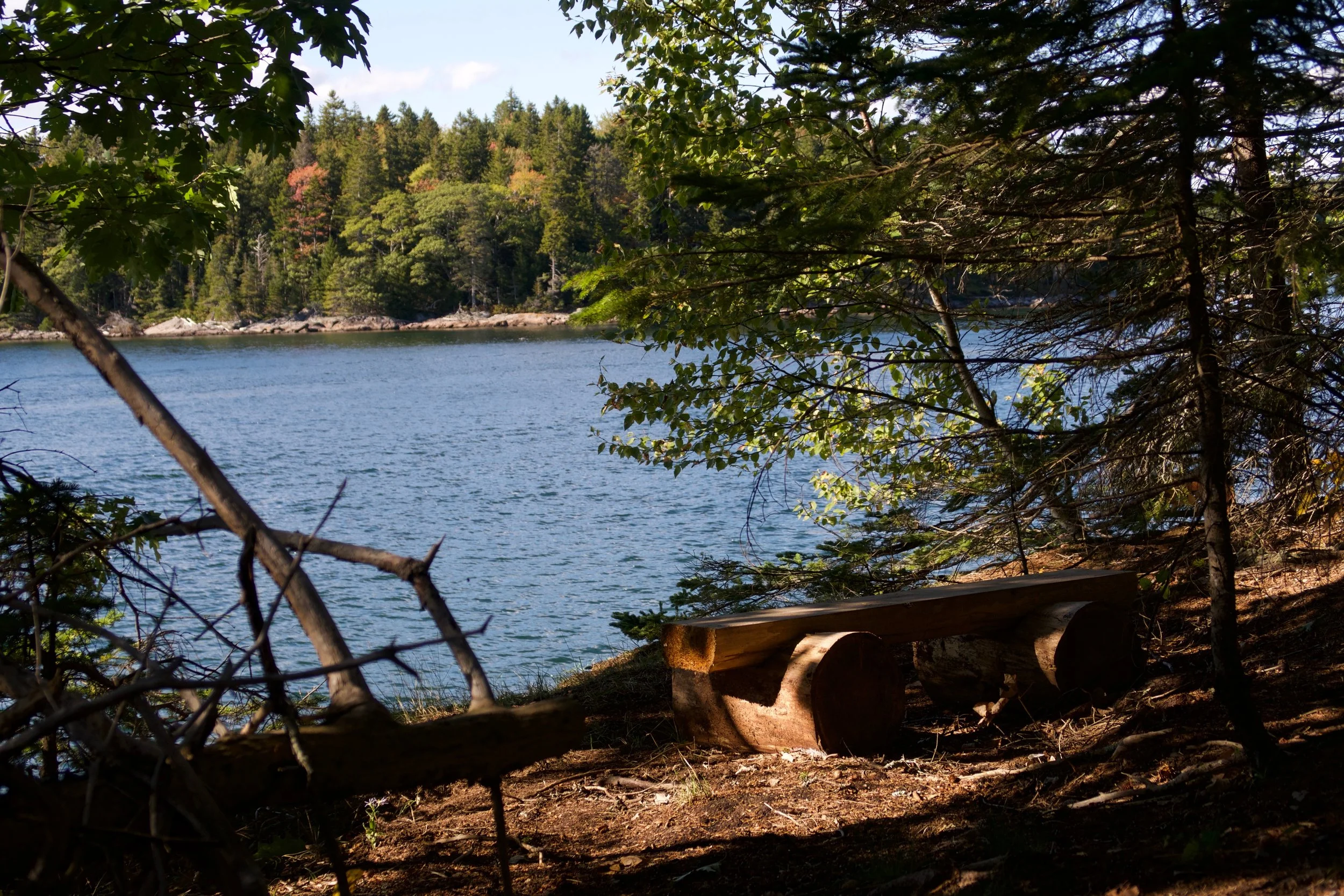

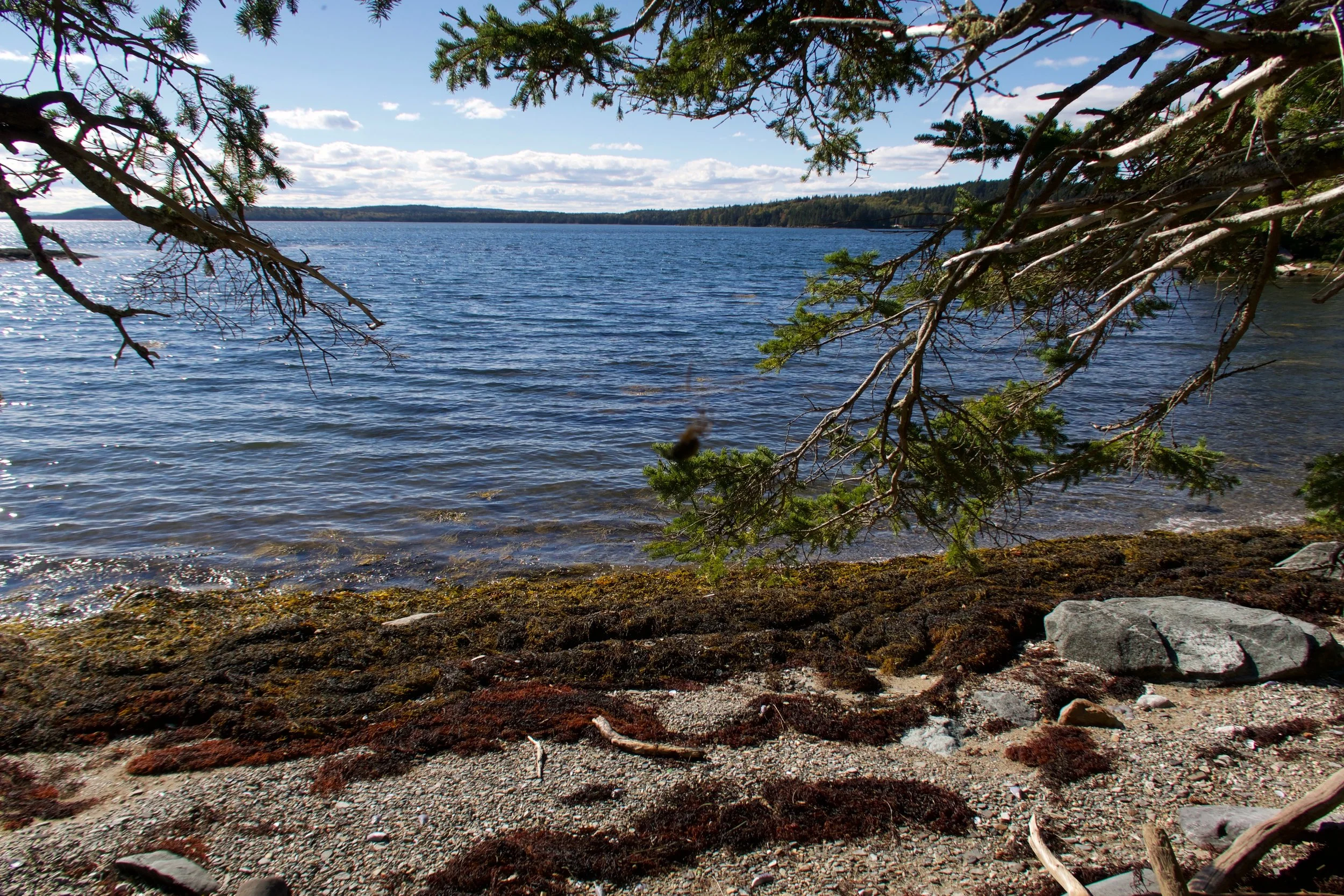
We continued around the shore on a well kept path, that ultimately led out to the point southeast of the east entrance. The point was a great camping spot, with a clearing that seemed natural, but was almost too perfect for camping to be so. The rocks and shoreline were inviting and it was a great place to watch boats coming and going from Buck’s. My immediate reaction was to tell Nick we shouldn’t tell anyone about this path or this place. And we actually agreed not to!
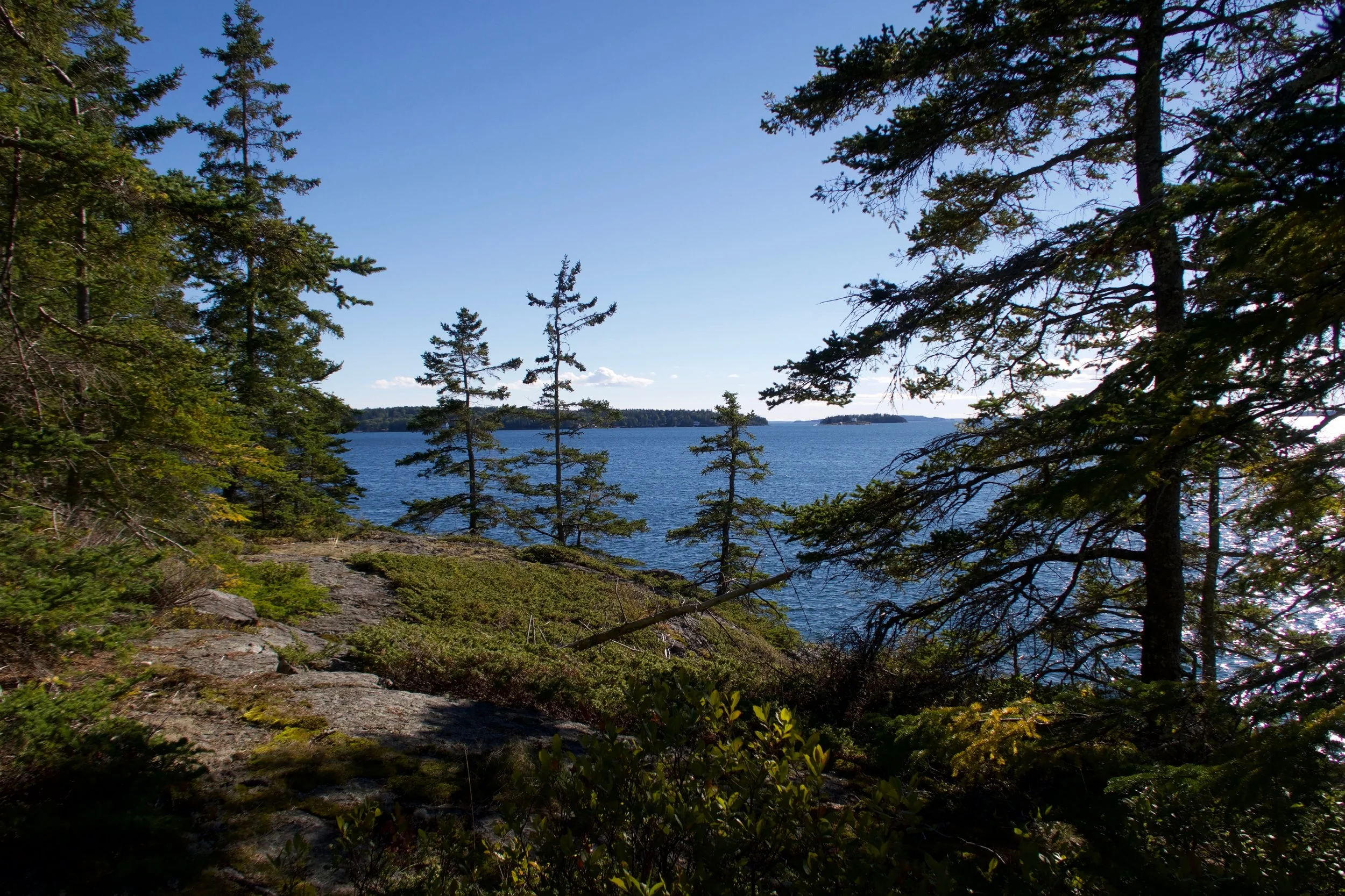
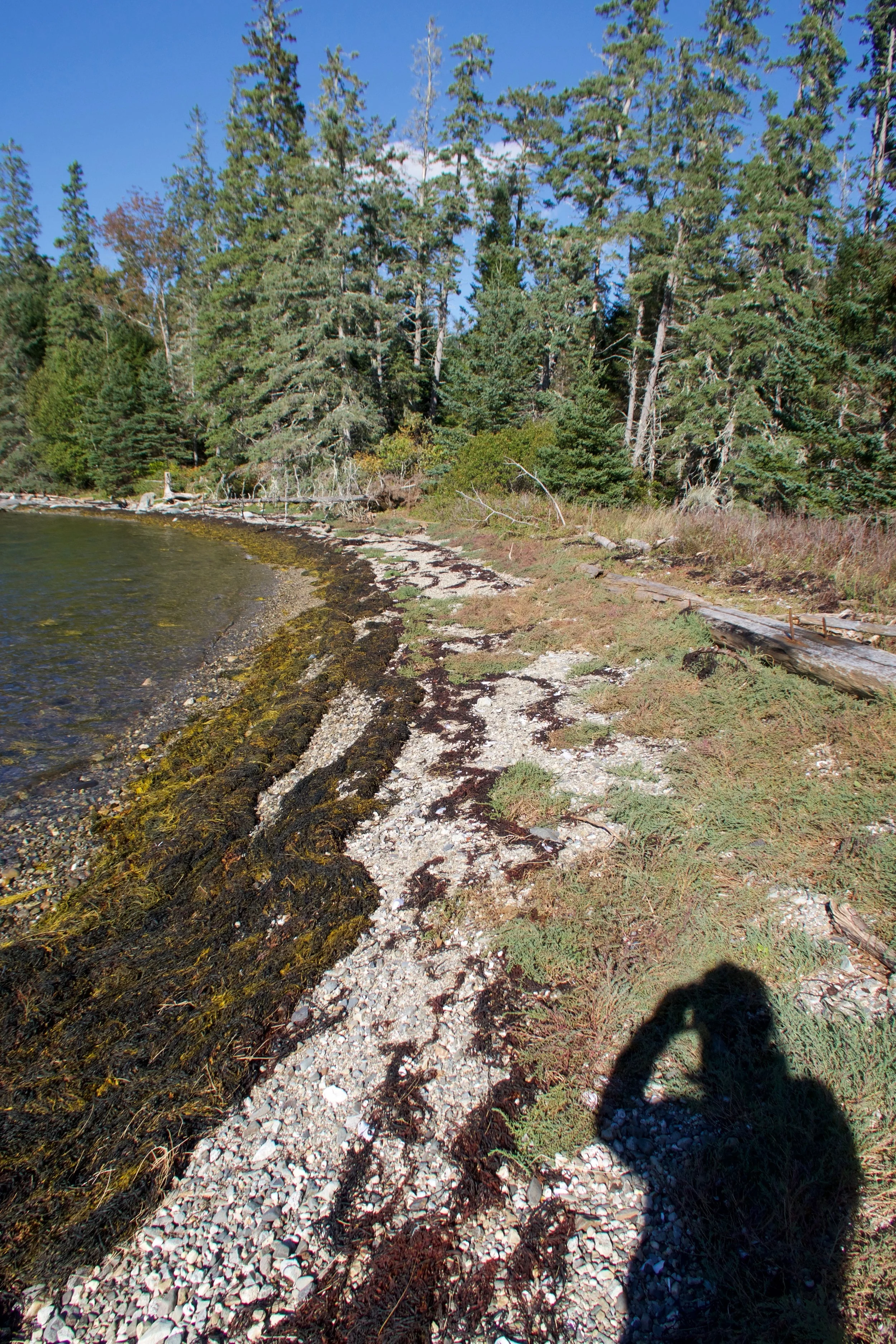
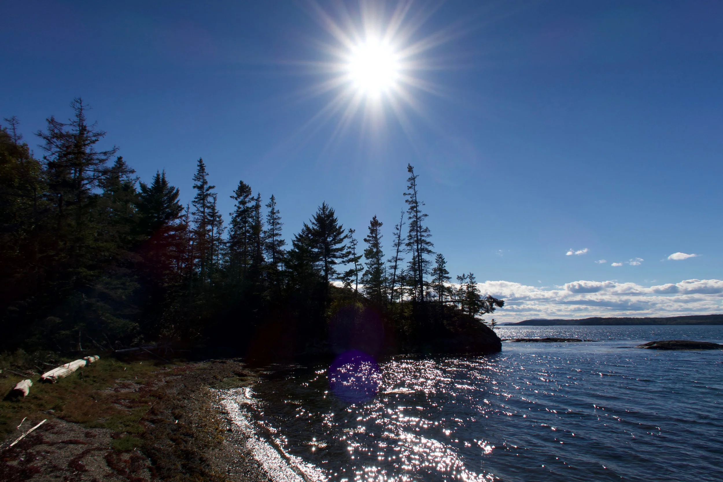
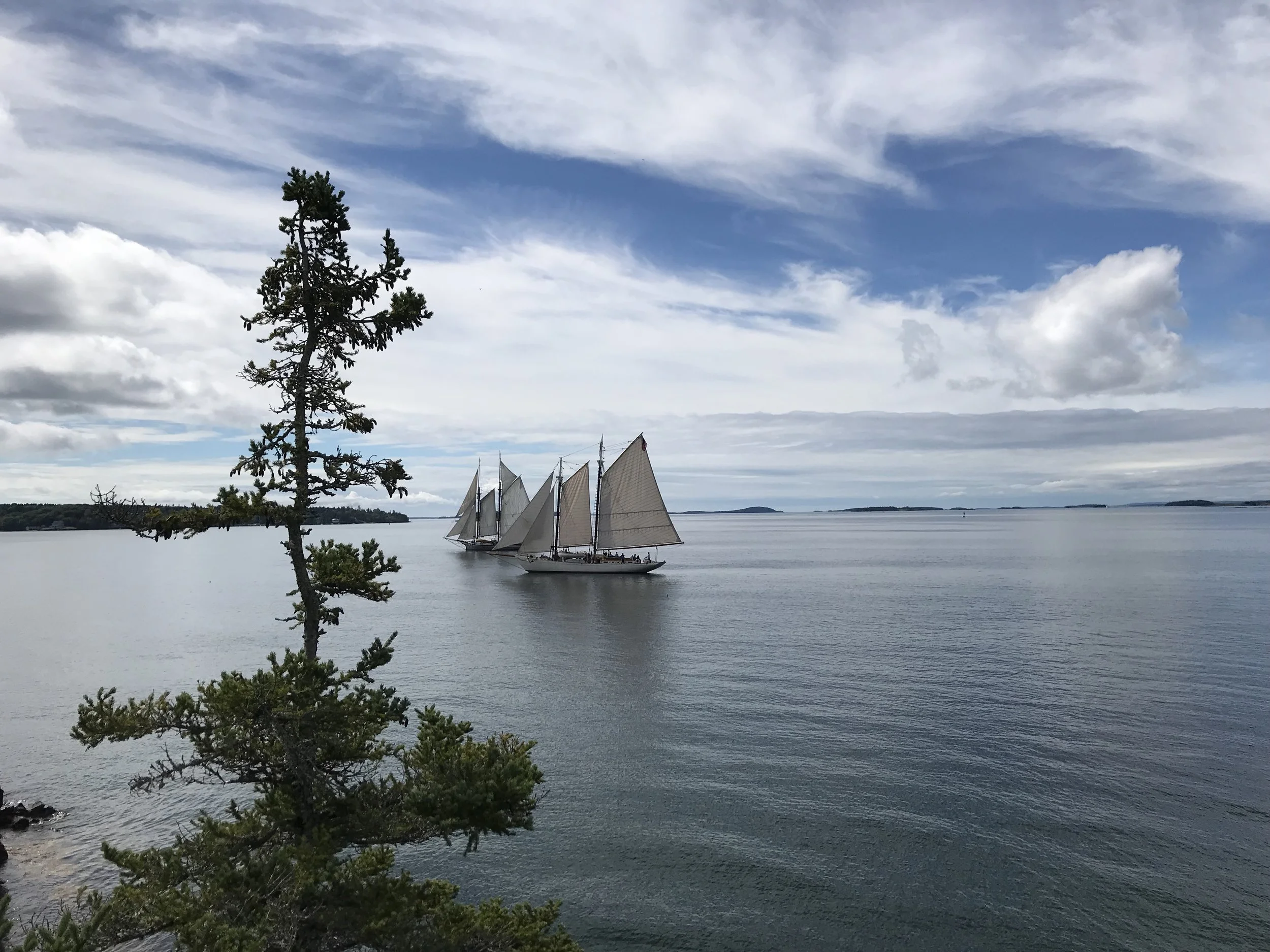
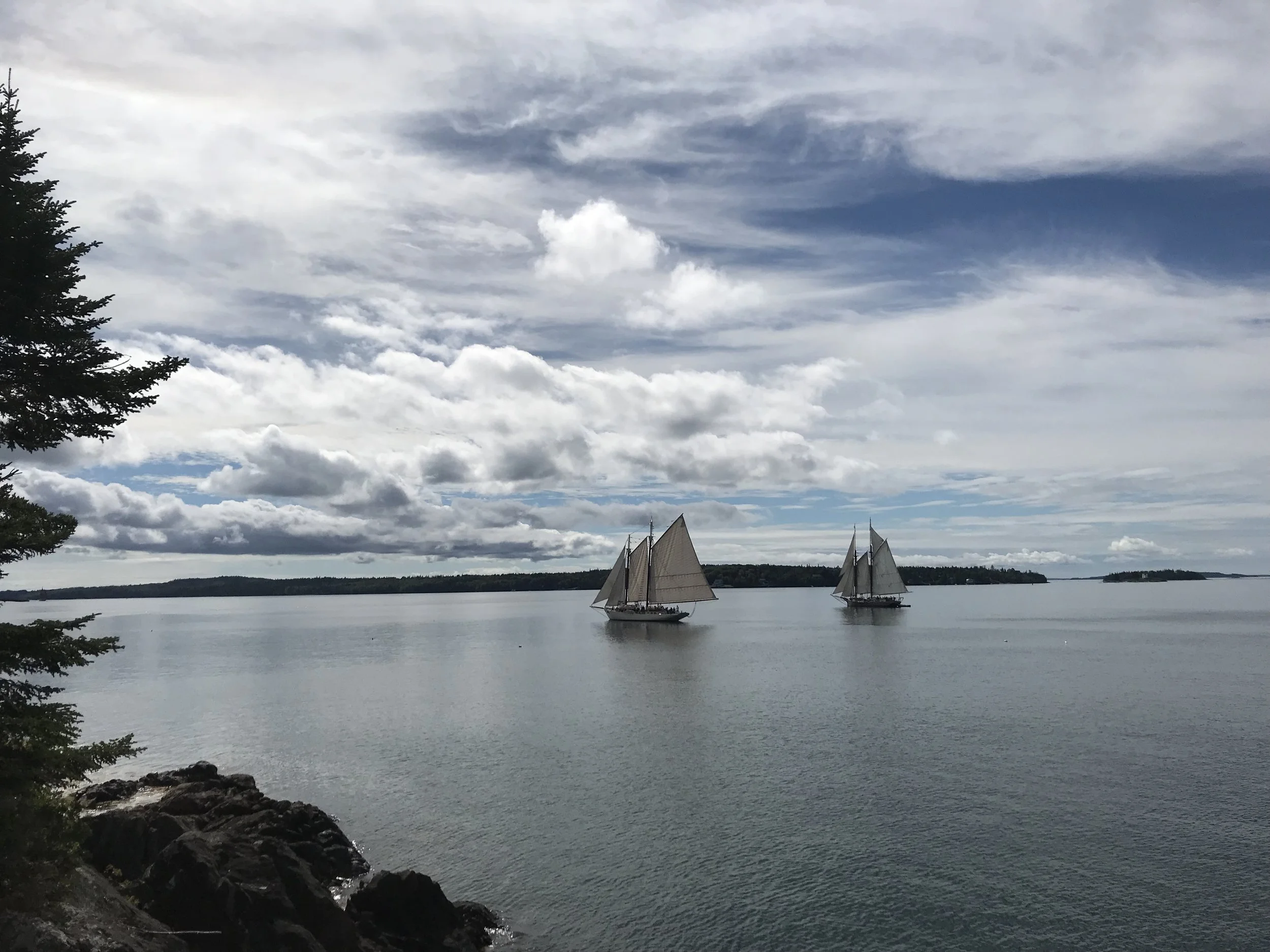
To our amazement, the path continued. The point was not the terminus. It took some looking, but we found the fork 50 yards back, and continued east rather than the west fork we had just explored. It just kept going. It led to the beach between the camping point, and what I now assume is pilot point due to the white marking that had always been on the rock which had to have been used as a navigation assist. As we walked the beach leading to the point, I wondered whether this was it. We were on the beach, so there was no path, and we had to be near the Hassi property line. What were the odds that a coastal path was shared among property owners. Slim, I would guess. But as we looked at the far east end of the beach, it appeared the path kept going. There were some downed trees, but as we climbed over. It was clearly a path leading up to the next point. Around the point, the path opened up to sweeping views of the Bay and the Reach. Spectacular.
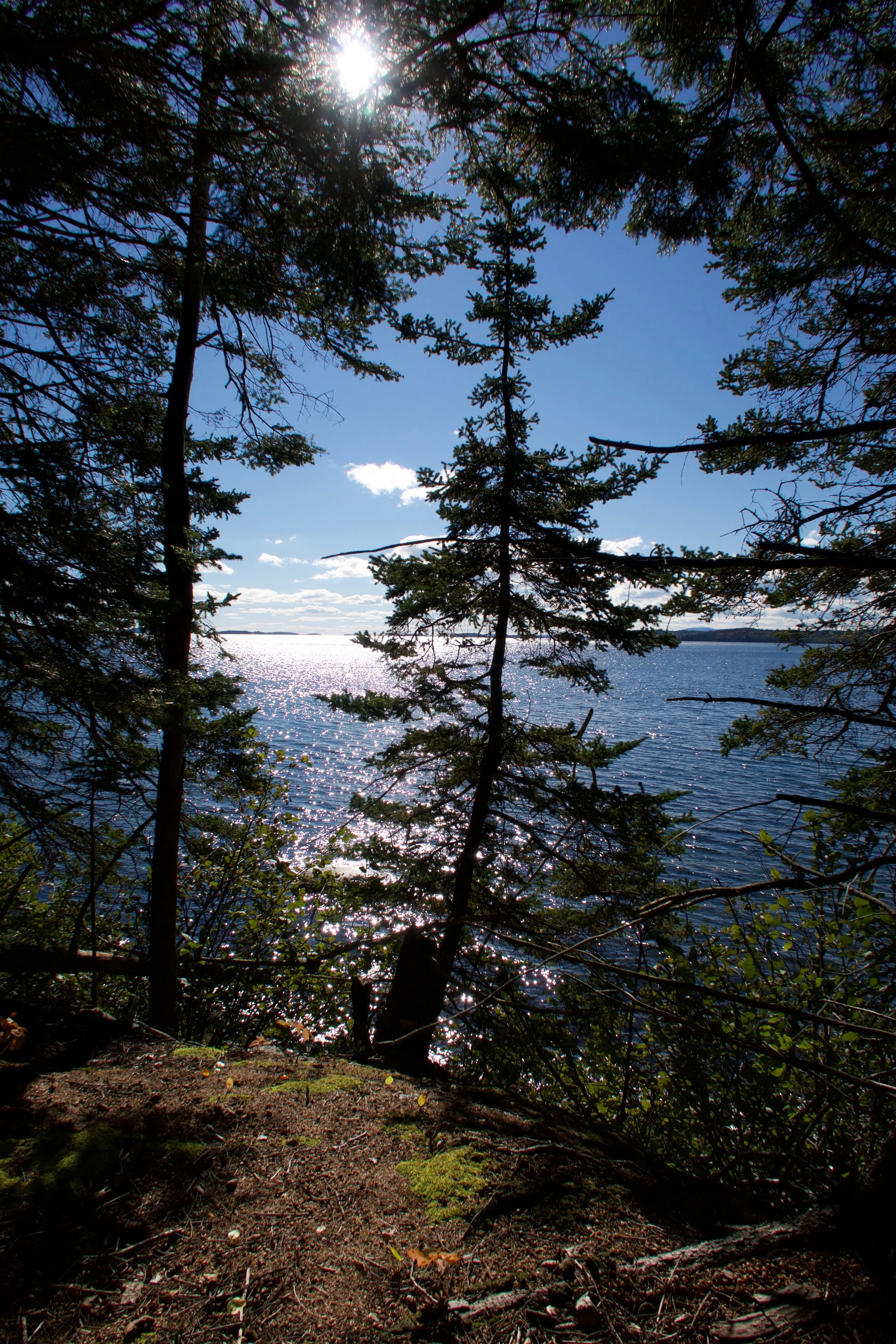

And it just kept going. We finally reached Towsey beach and took the opportunity to take their road to the beach out to the Norvega road where we walked back to Coastal Road and down Kench’s Mountain.
That was three years ago. Since I have been down the path at least a few times a summer. I have broken my pact with Nick and showed it to a few people, first my niece and nephew, then Siobhan and Penn, and more recently Sarah Penfield and Sophie and Doug Cowan. Ashley wouldn’t go because of the bears. Typical. I didn’t feel too badly since I knew Nick had gone back on our pact the week after we made it and took his new girlfriend Heather down there. They are moving in now, so I guess it’s OK.

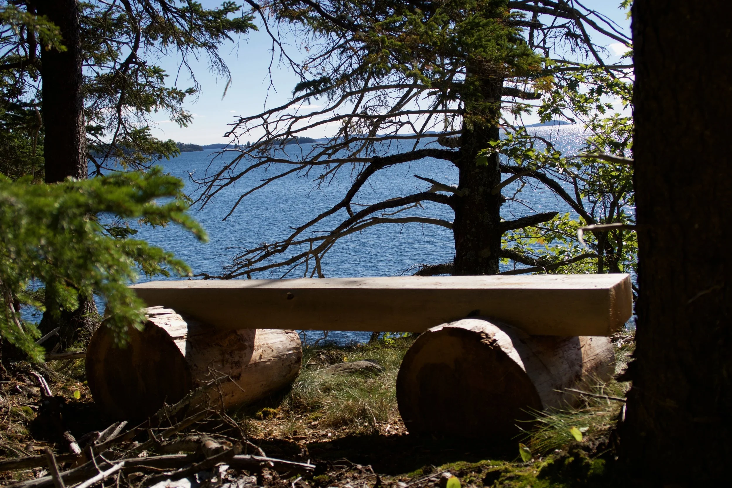
The fact I was so happy and relieved to hear this summer, is that the land we were walking has all been conserved, and a portion is even open to the public. When I was unhappy in my job, I decided to focus on things I loved about Portland and Maine. One of those things was the Maine Island Trail Association, so I volunteered to serve on their Marketing Board Committee, and ultimately brought in my employer as a corporate sponsor. There was a Maine Coast Heritage Trust employee on the MITA Board, and when I enquired about how to start helping that organization, she took me out for coffee and gave me brochures and maps of all of their sites. I immediately went to Buck’s Harbor on the relevant map, and saw that the point was already conserved, and that the point itself was actually a Preserve, which meant public access was allowed. It was hard to tell on the map exactly what was open to public, and Kristin didn’t know, so I was dying to learn more. Strangely, the next time I went down, Siobhan’s first time, there was a crew working on the path. They had already created two benches and were working on stairs down to the beach. Amazing that is land is accessible, and will always remain the same forever. I want to be more involved with this stuff.