MITA Jonesport
8.24.2018 MITA 30 in 30 Downeast
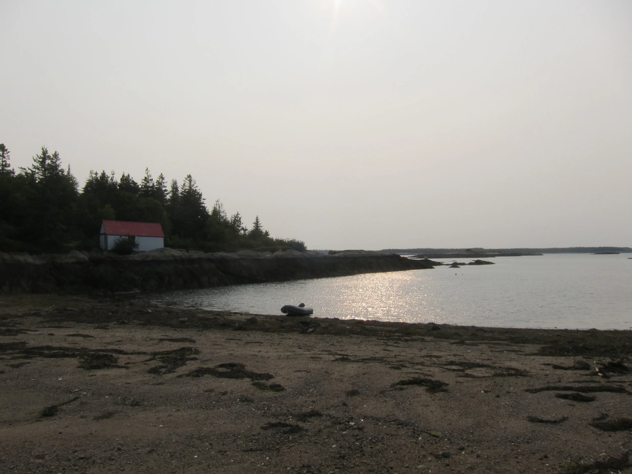
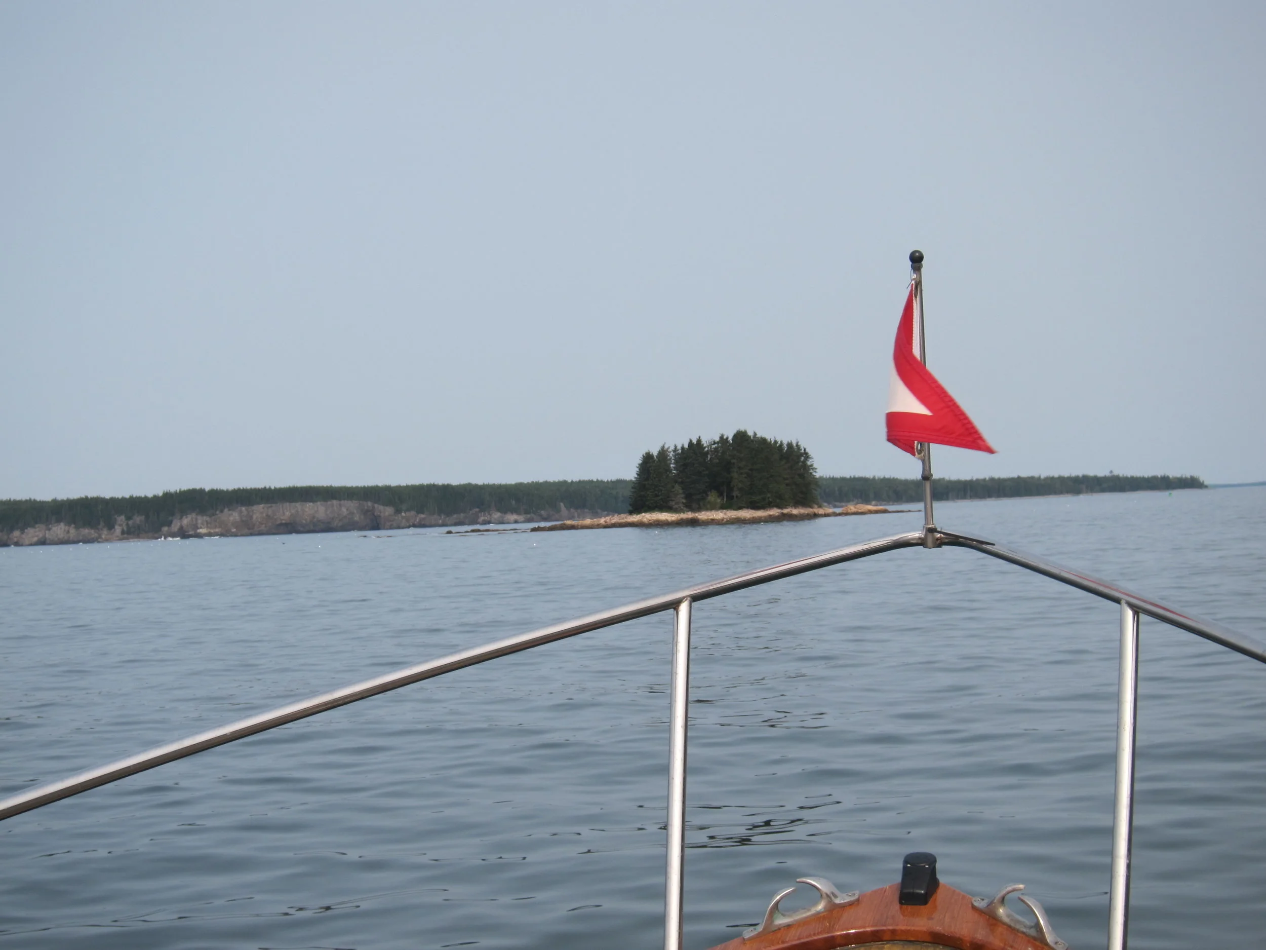
I cut inside Schoodic Island and skipped Prospect Harbor and Corea completely. I may go in some day, but Cruising Guide didn’t have the best things to say about them, and I had islands to check off. I was again disappointed. I remember telling Doug Welch at MITA not to worry about Spectacle because it was the closest island to me growing up and I’d never stepped foot there. There are some islands you don’t really care to anchor, get in a dinghy and explore. Dry Island is one of them. The trail is fortunate to have these sites, especially for kayakers who need options on a long trip with varied weather. But for larger vessels, they don’t make sense. Maybe there is a way to classify the islands in the guide.
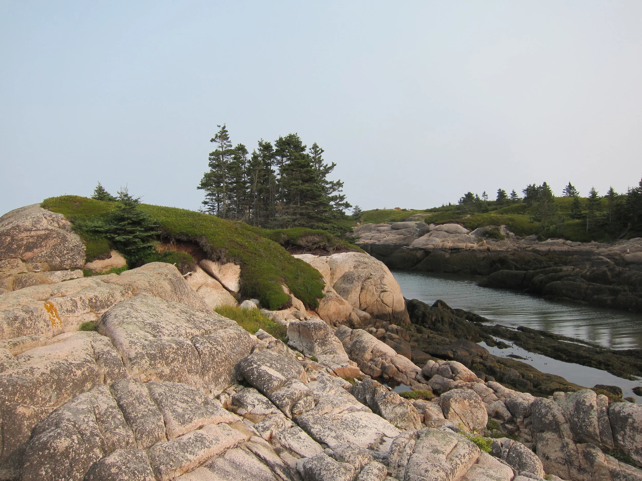
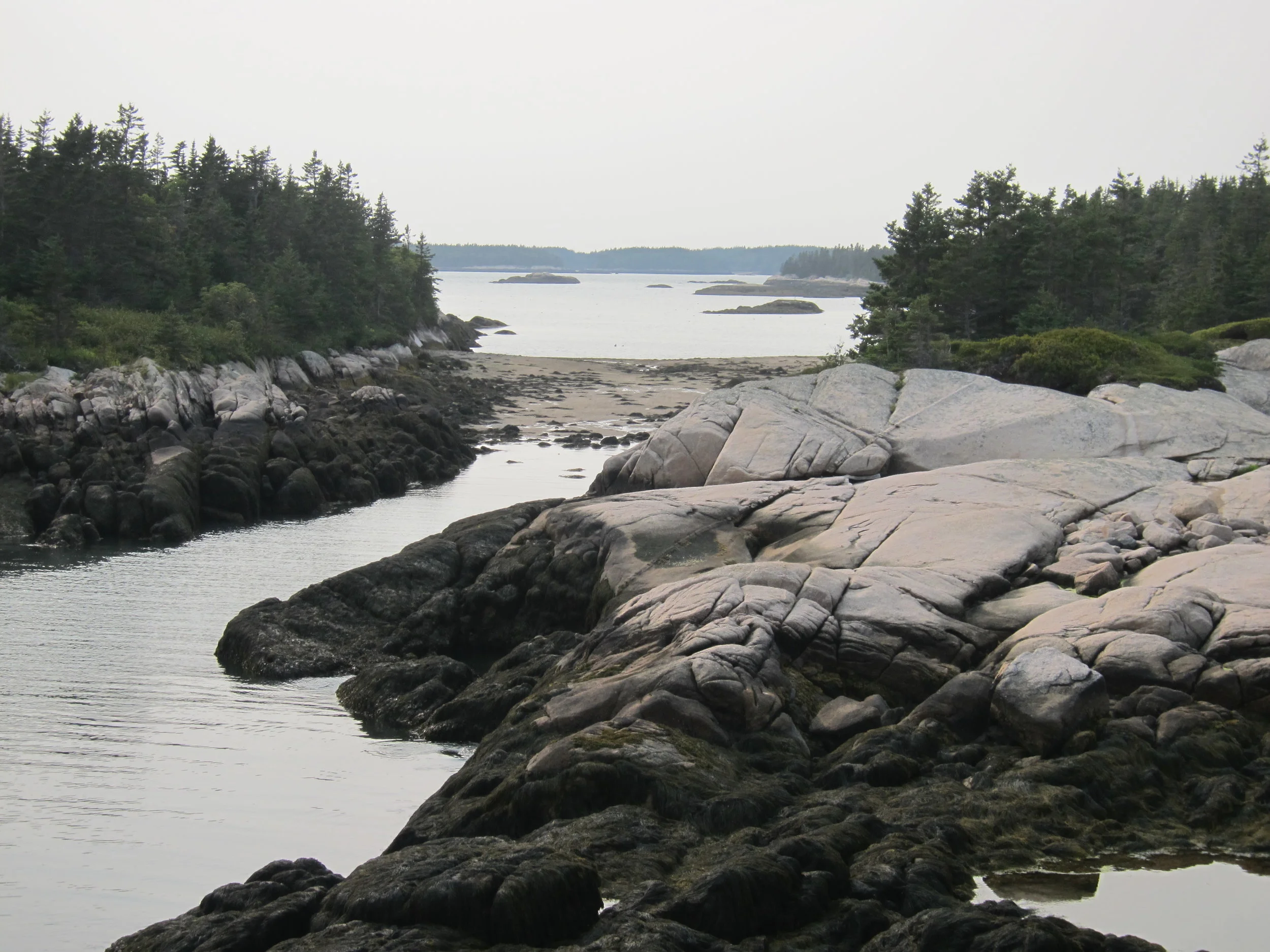
That said, Gouldsboro Bay is really cool, with good protection and two deep water entrances, and definitely worth checking out. The barrier island looked very cool, but nothing was very accessible because of the swells. I bet it rarely is. Going into the Bay was worth it. Dry Island was not. After the last two, I feel very lucky to have what we have in Penobscot Bay.
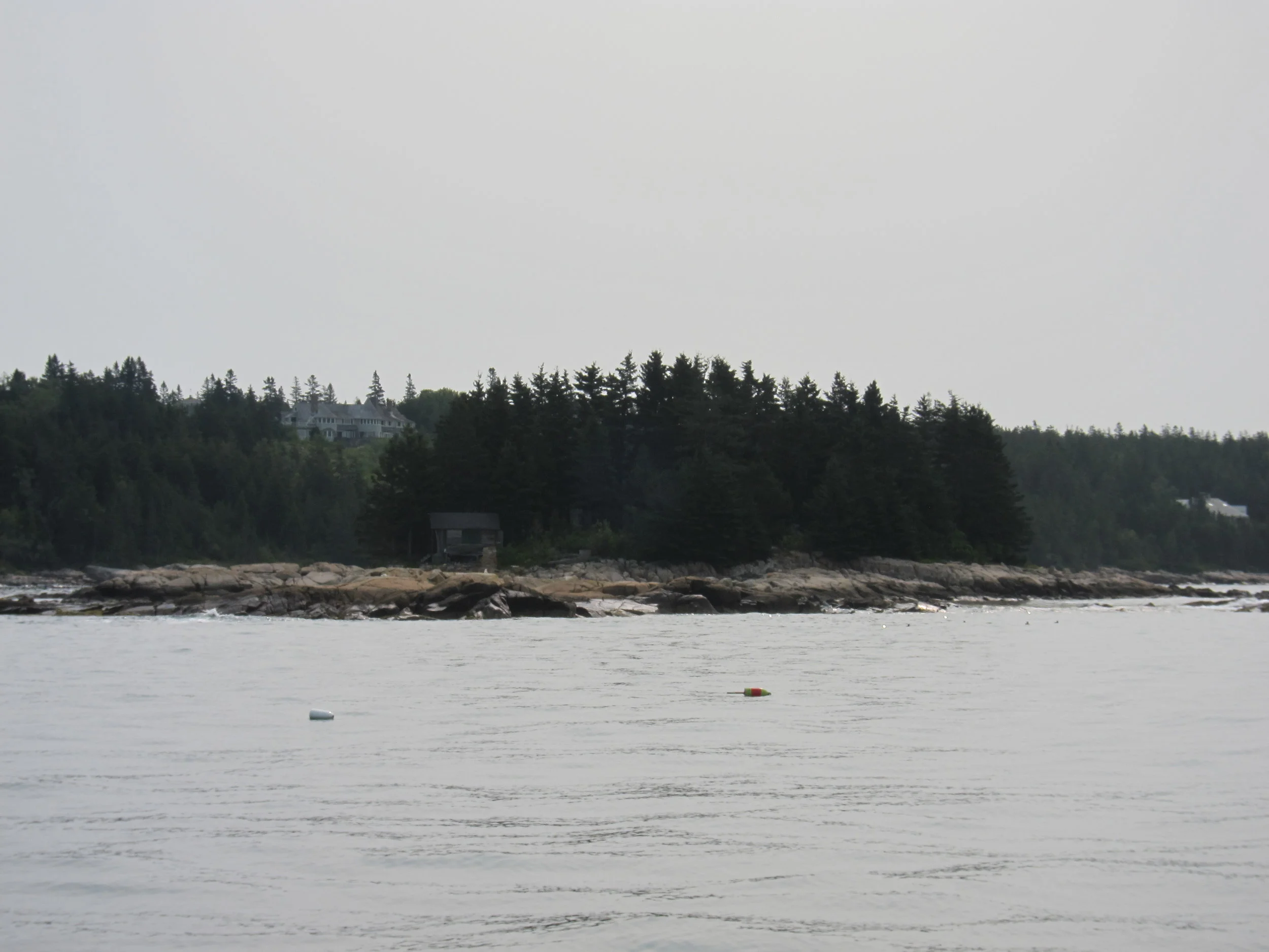
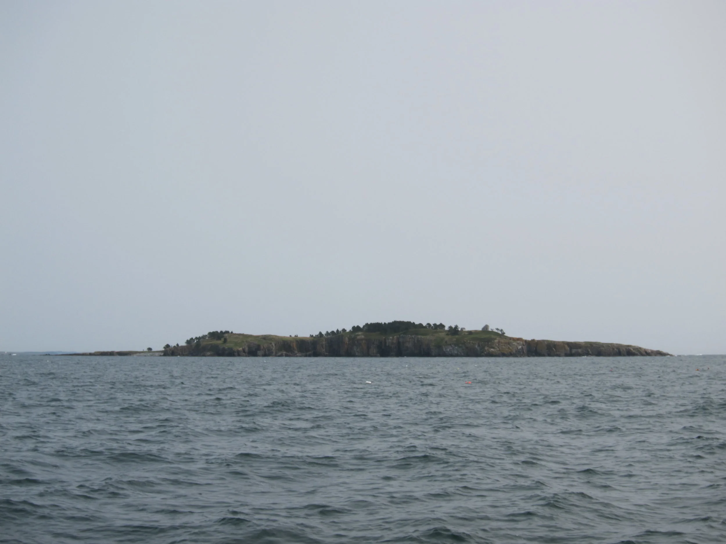
Petit Manan point was similar to Schoodic in terms of swells and chop, but with a long bar connecting the point on the mainland to the light, similar to the bar at Bass Harbor on MDI. I decided to go over the bar, which was a questionable decision at best. It ended up being fine, but it is hard to know when the swells are that big, what happens at a shoal spot, especially if the tidal current is against the waves. Sometimes you take a risk. This time it was OK.
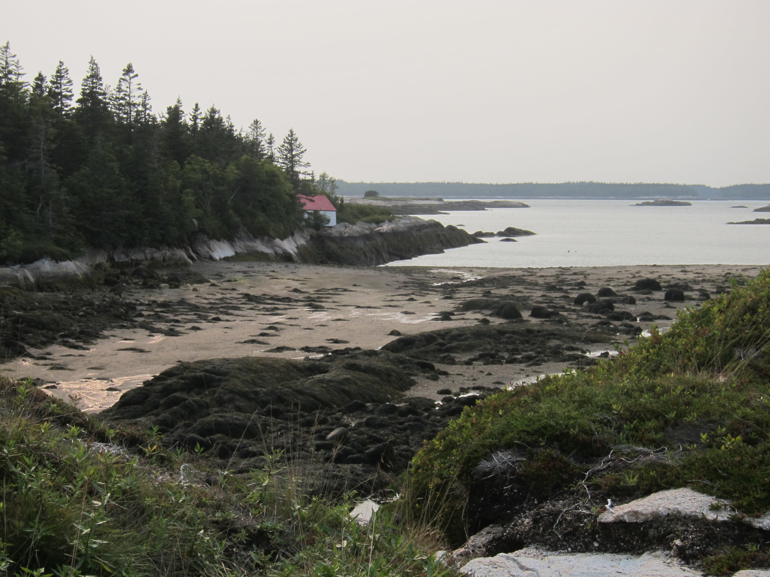
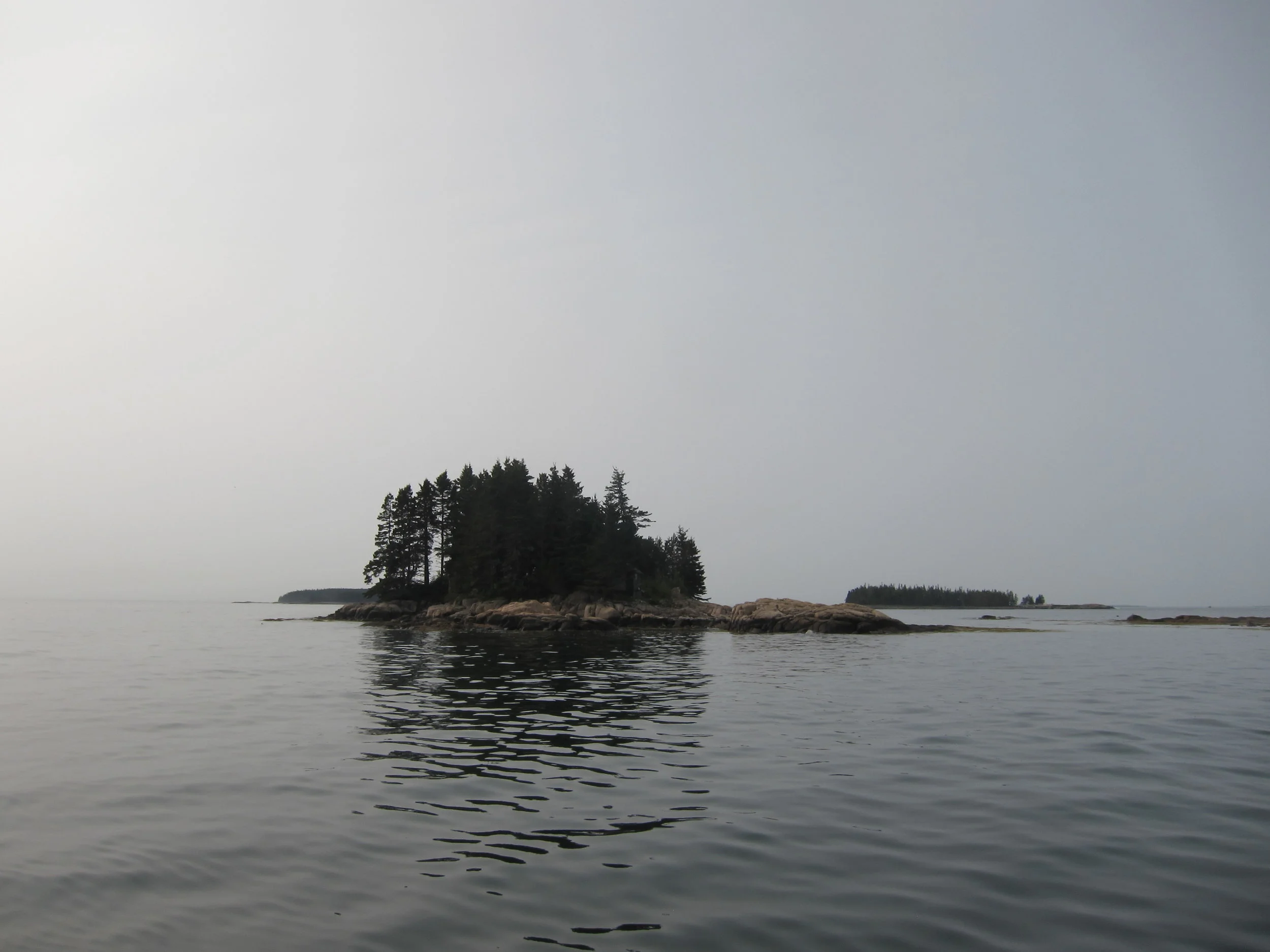
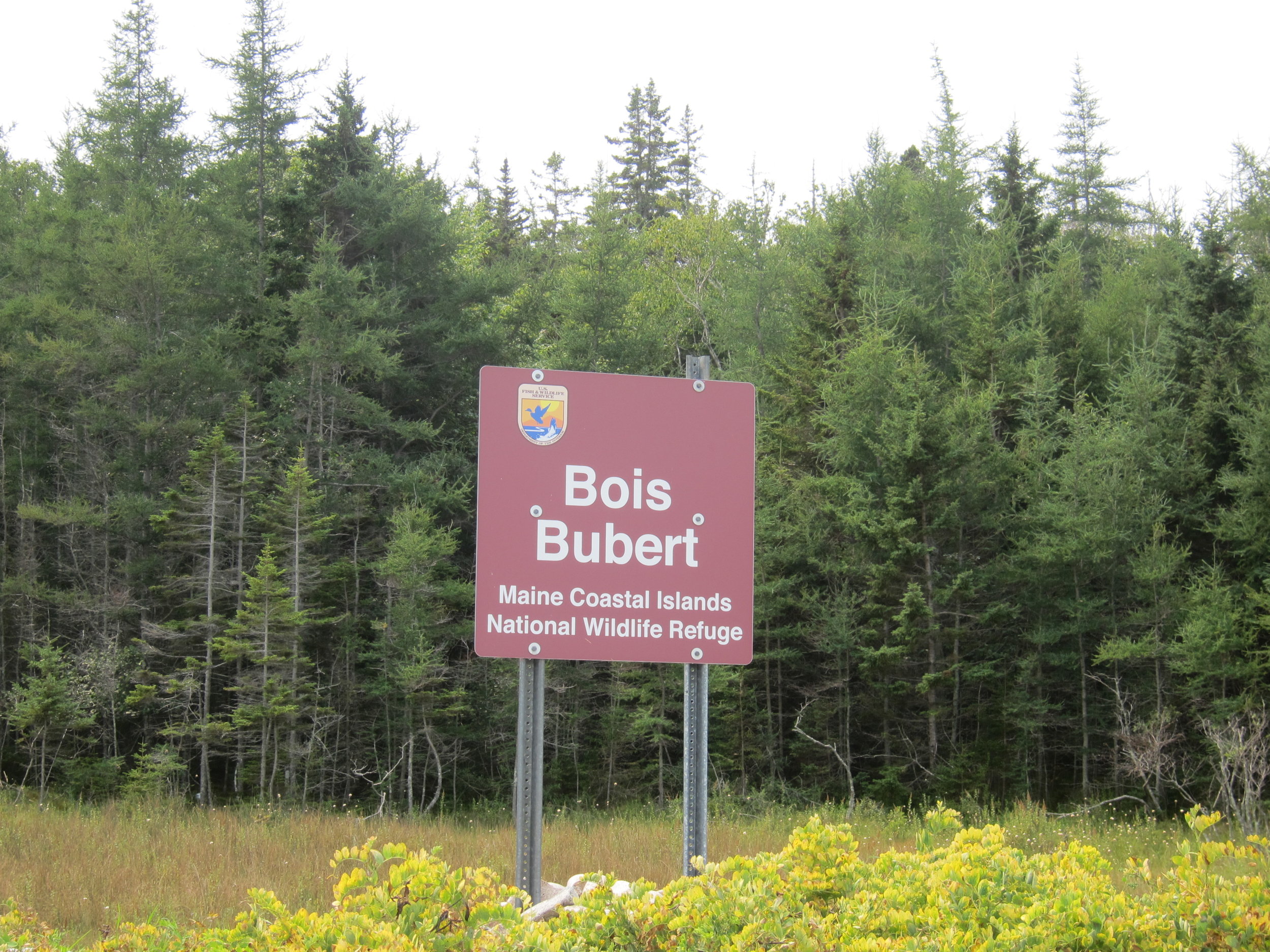
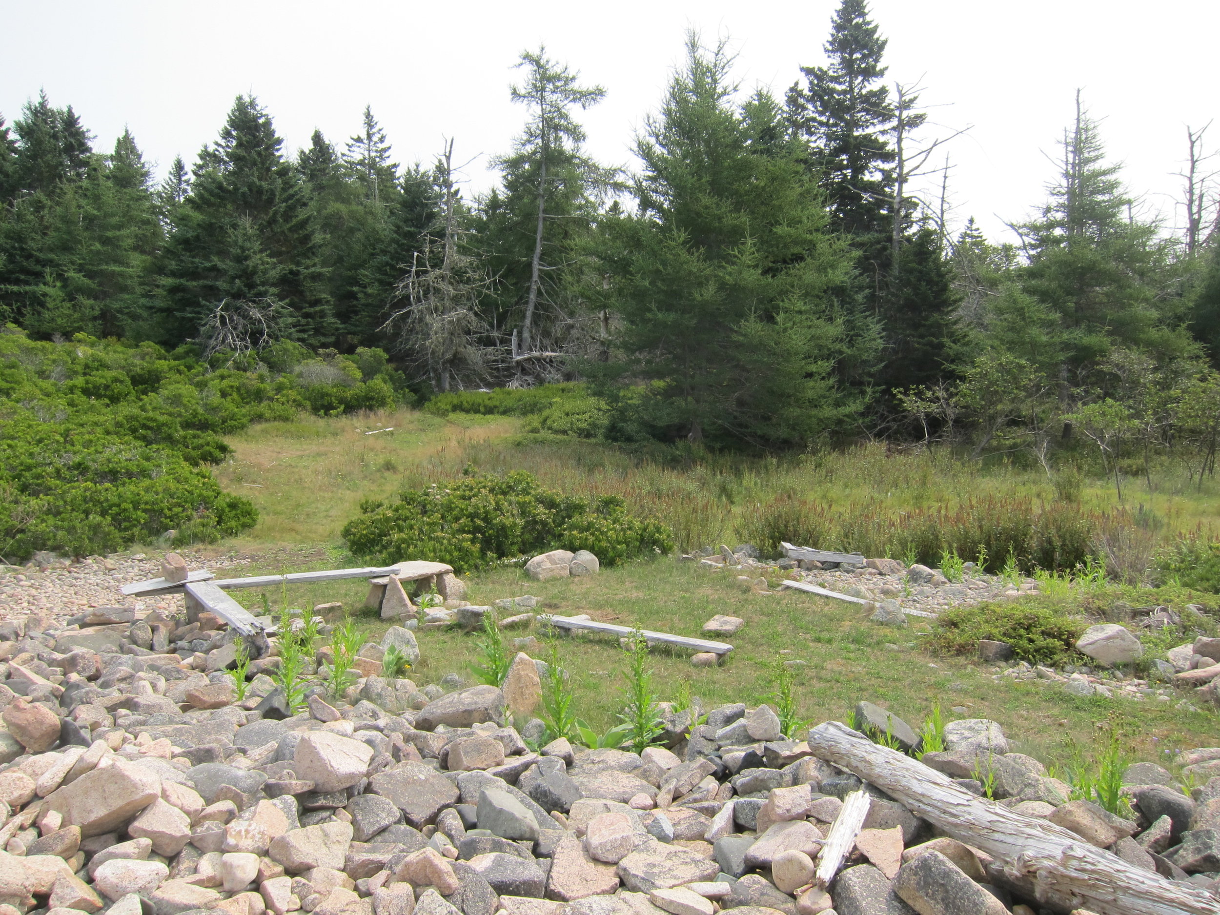
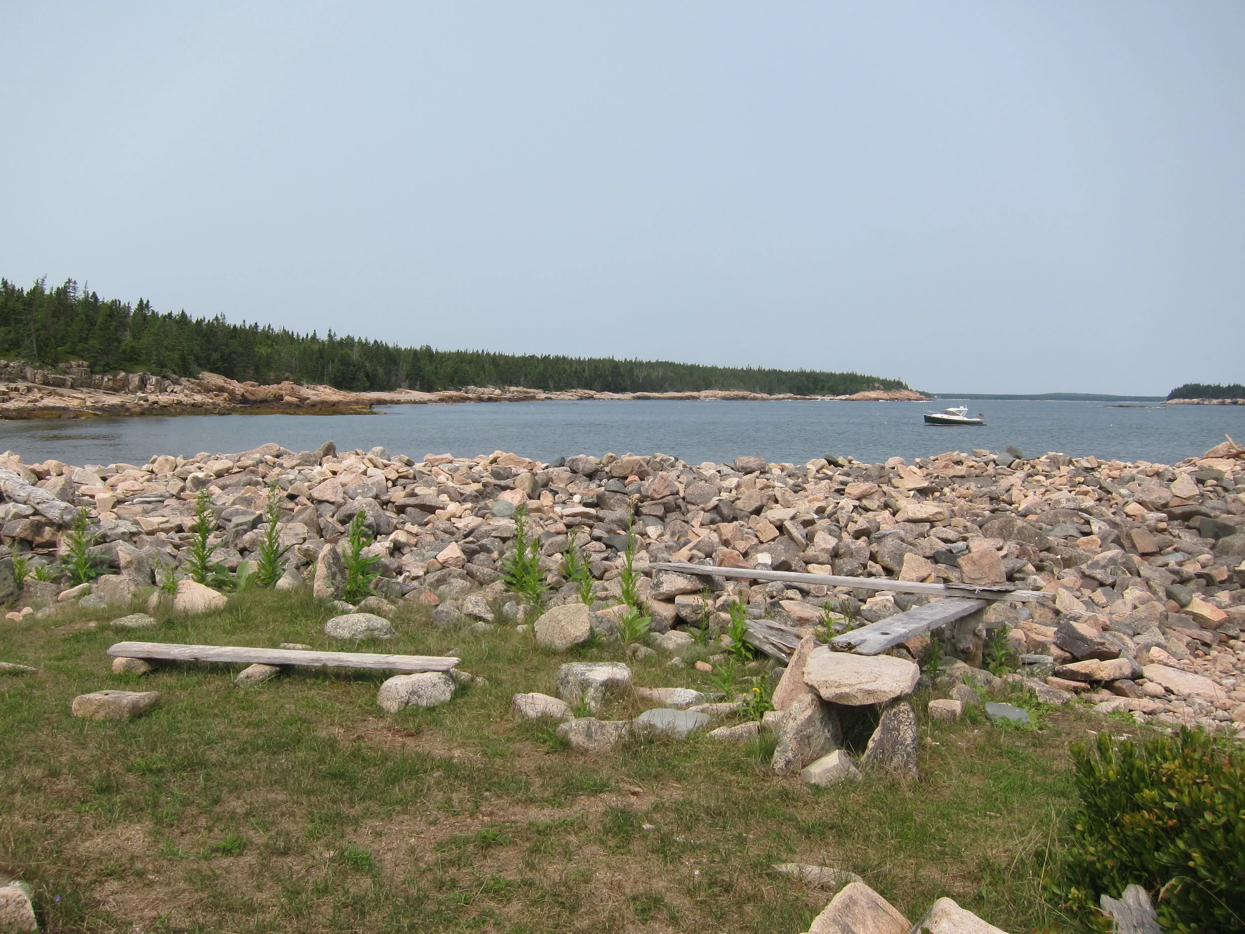
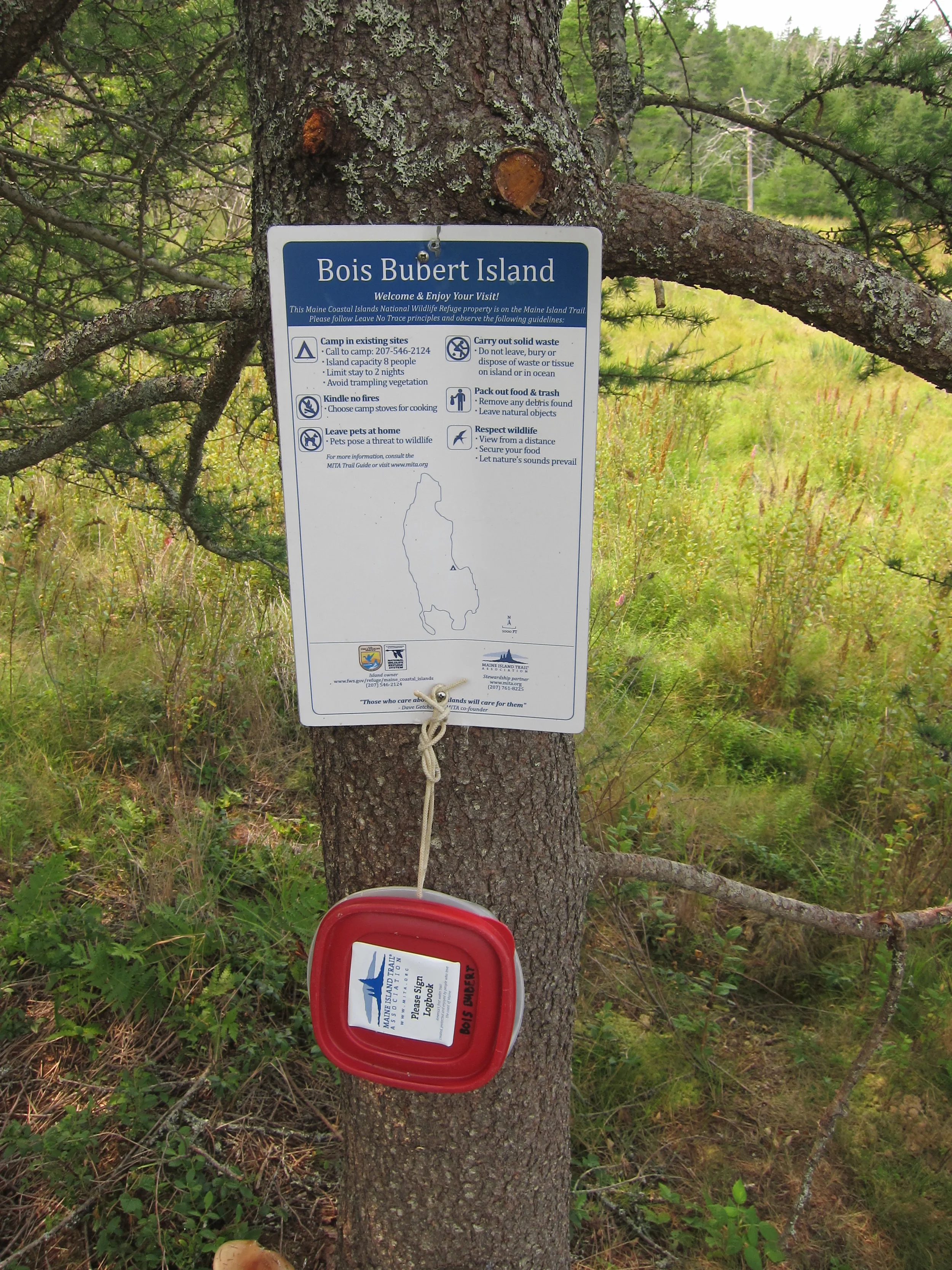
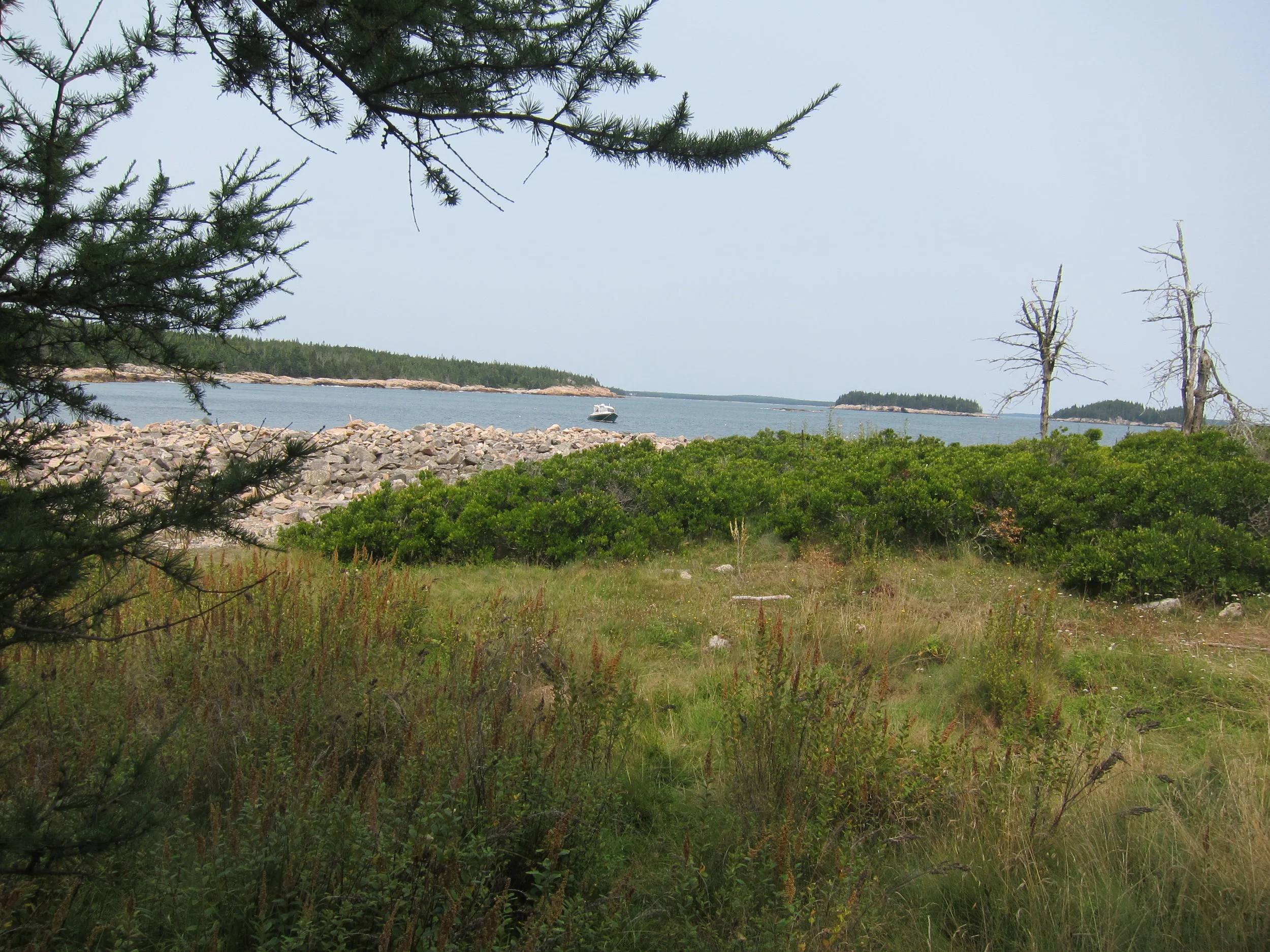
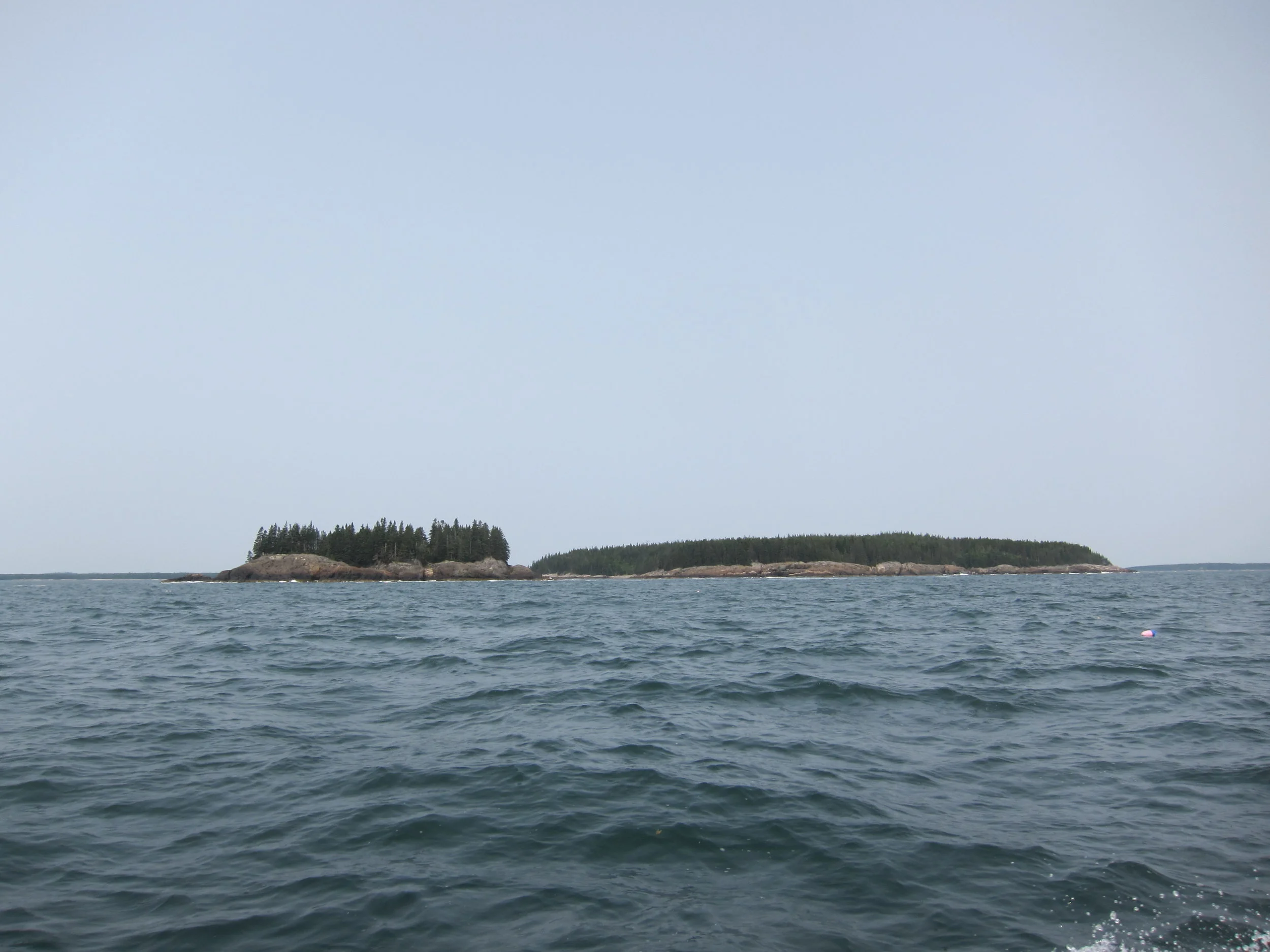
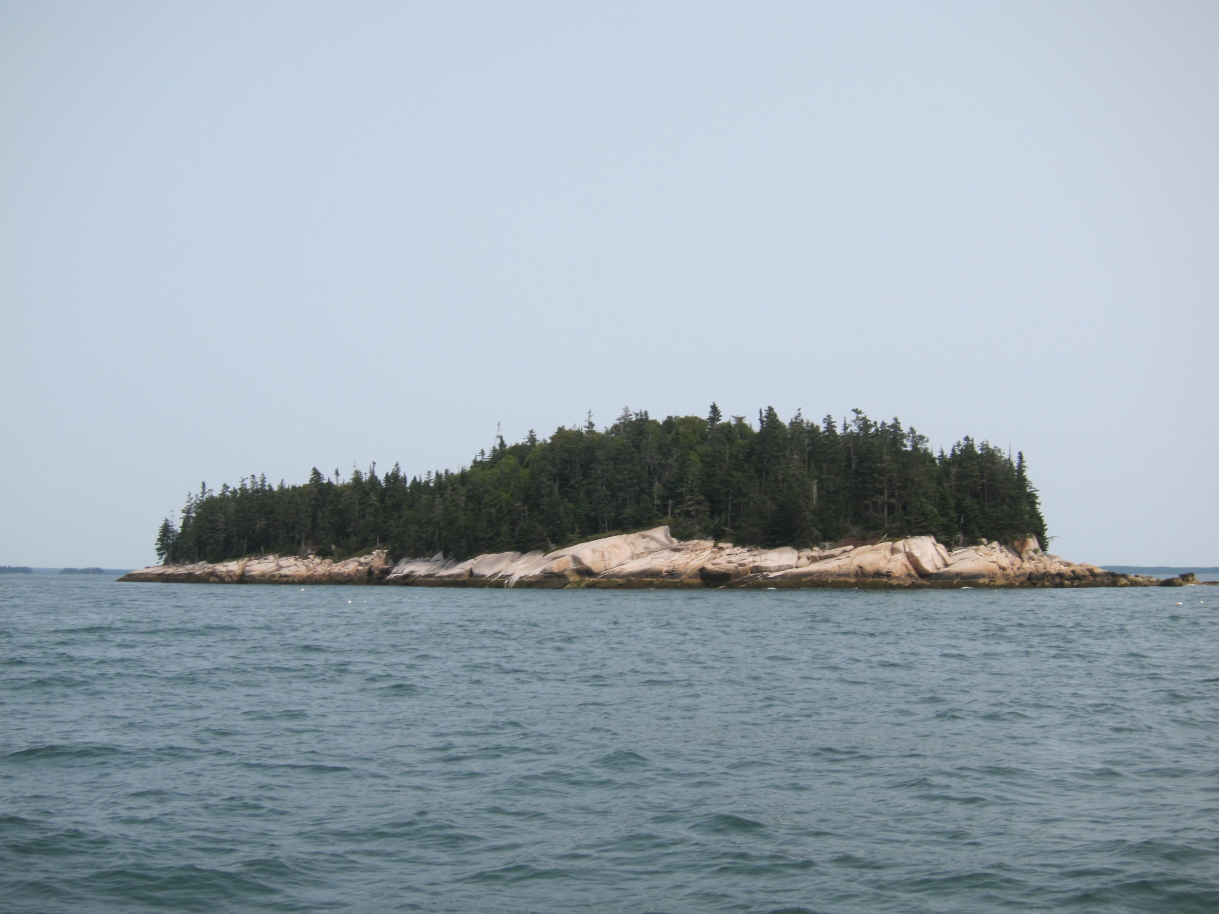
The shortcut over the Petit Manan bar allowed me to spend more time at Bois Bubert Island. What a name! It’s not possible to live up to that name, in fact. The island had a nice cove that wasn’t that well protected, but well enough to feel comfortable anchoring, which is more than I would say for the previous two sites. It had a very rocky beach, with a nice campsite at the Southern end . A trail led up in to the woods and turned into multiple forks of game paths, which would have been fun to explore if I’d had more time. The site was nice for larger groups and would be an ideal spot for protection in a Southwesterly wind.
From Bois Bubert, I shot straight across to Cape Split and Moose Neck, skipping Narragaugus and Pleasant Bays. There were more MITA sites further up the coast, and nothing too special I was missing, as far as I could tell.
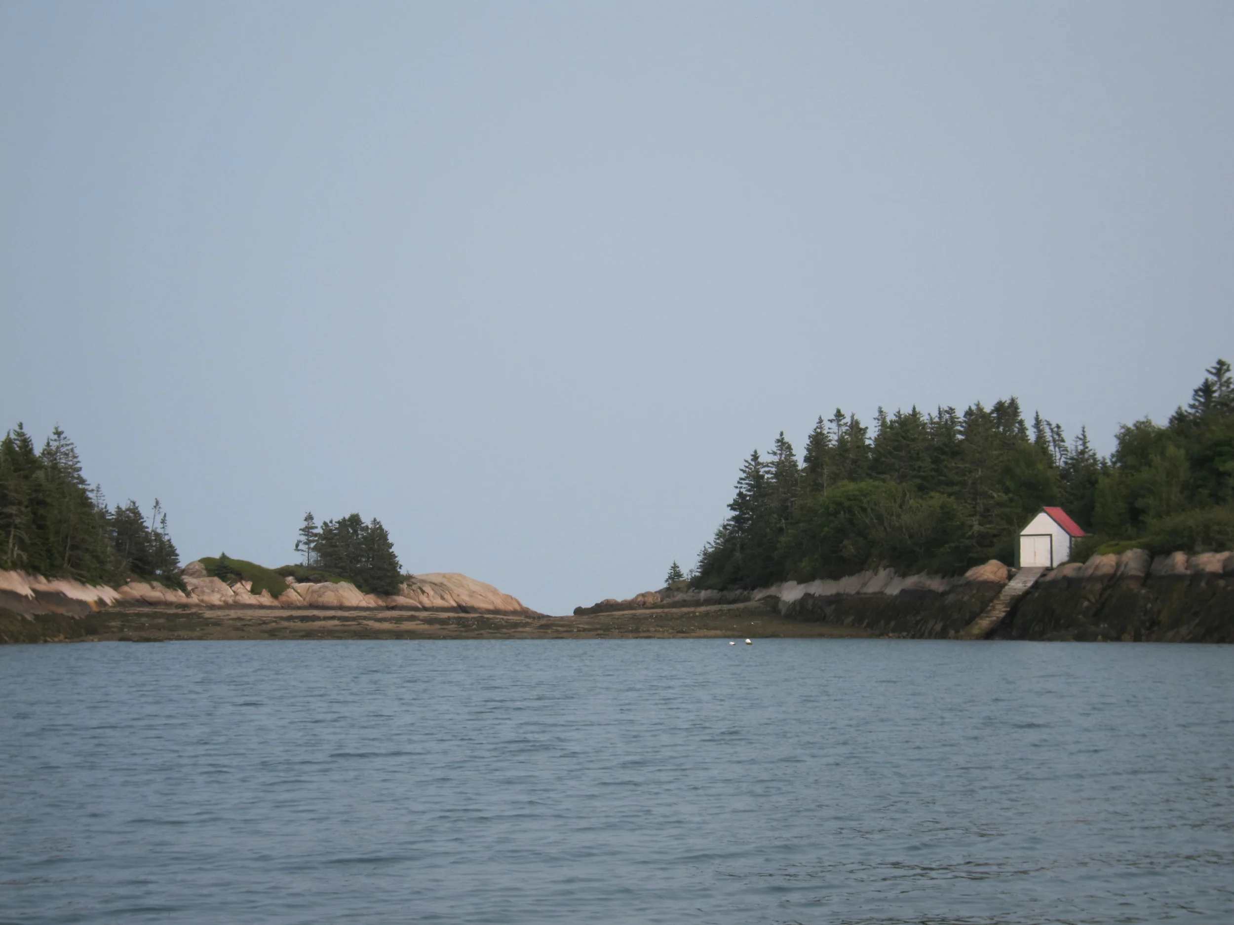
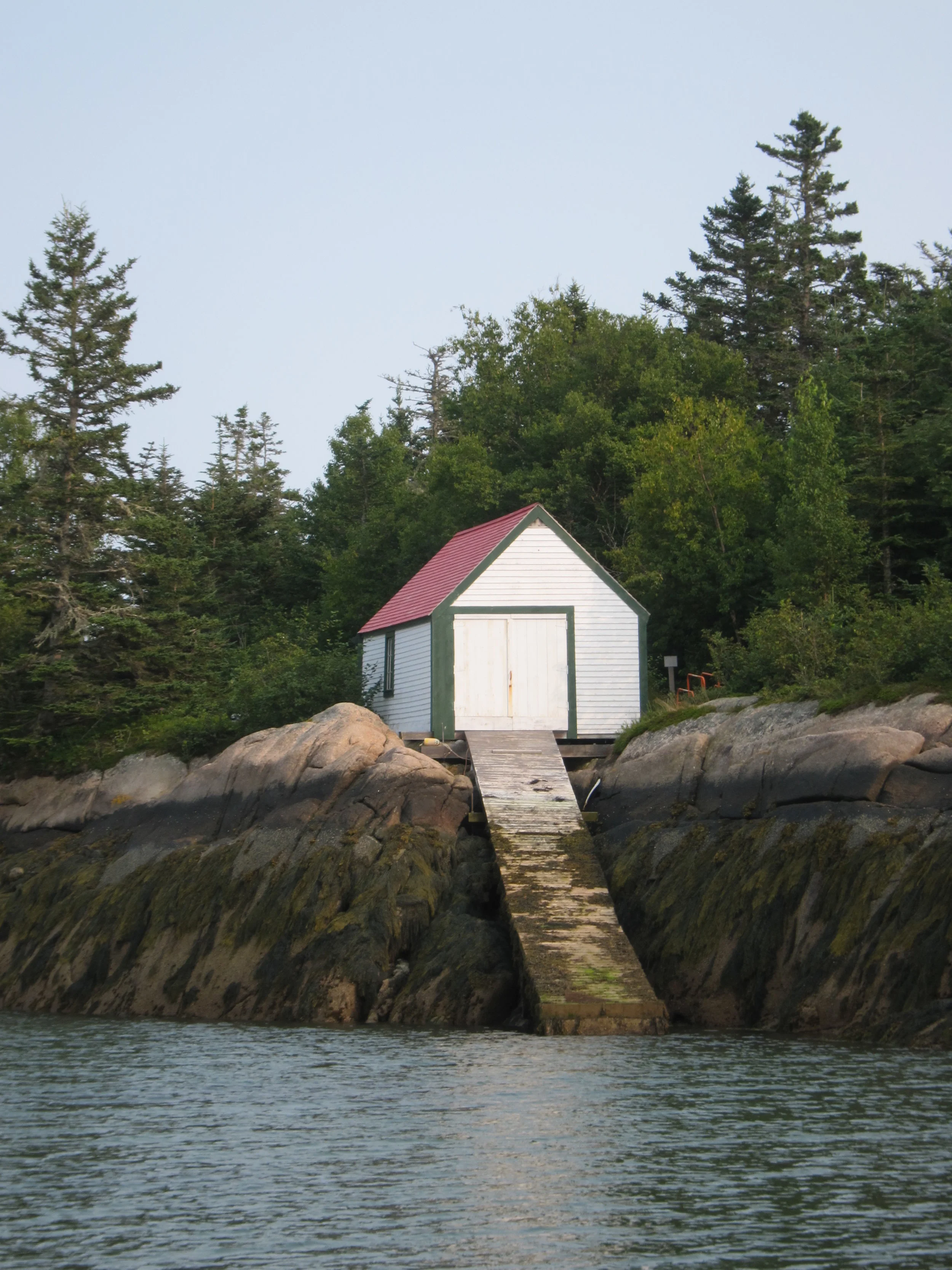
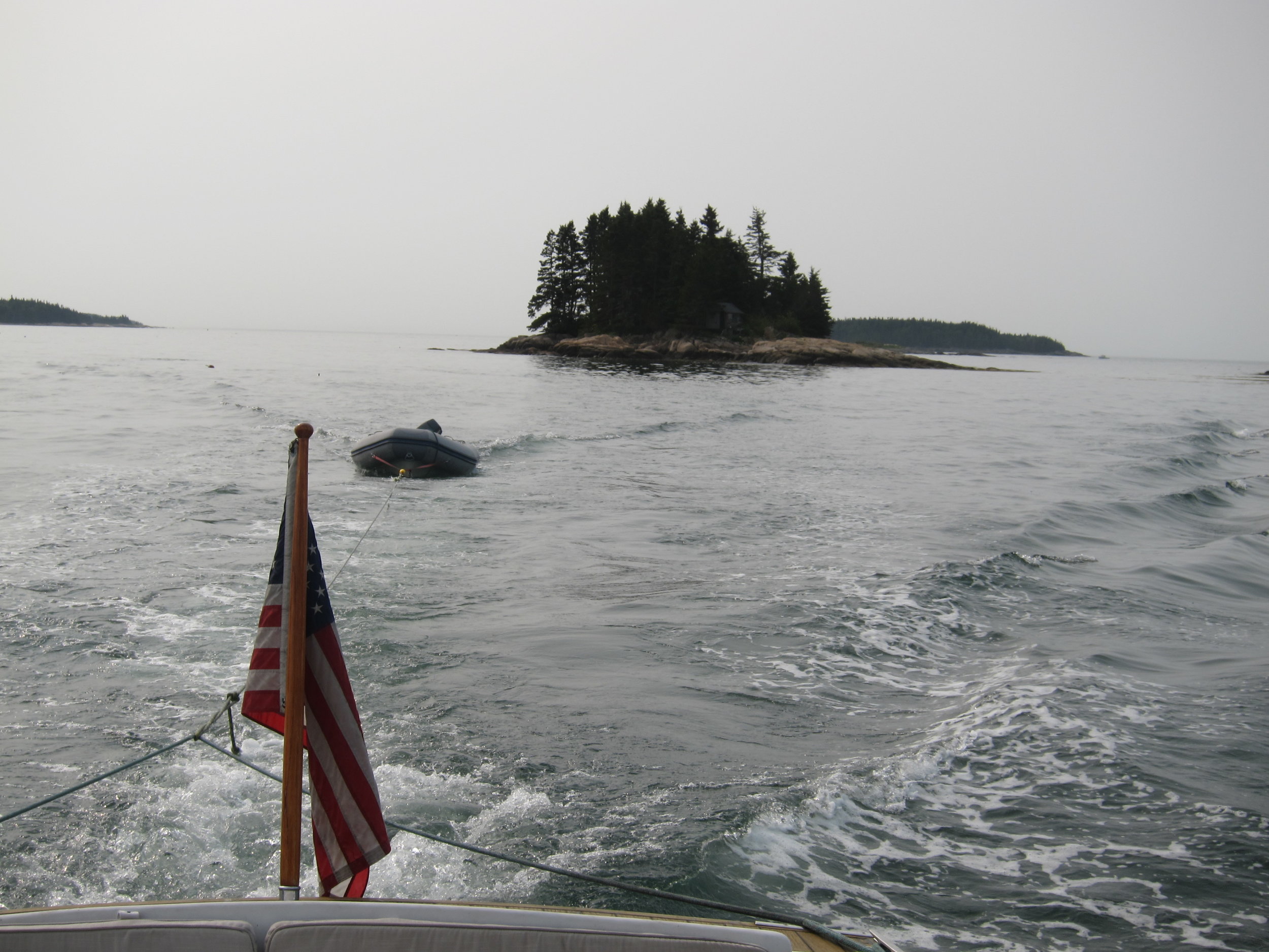
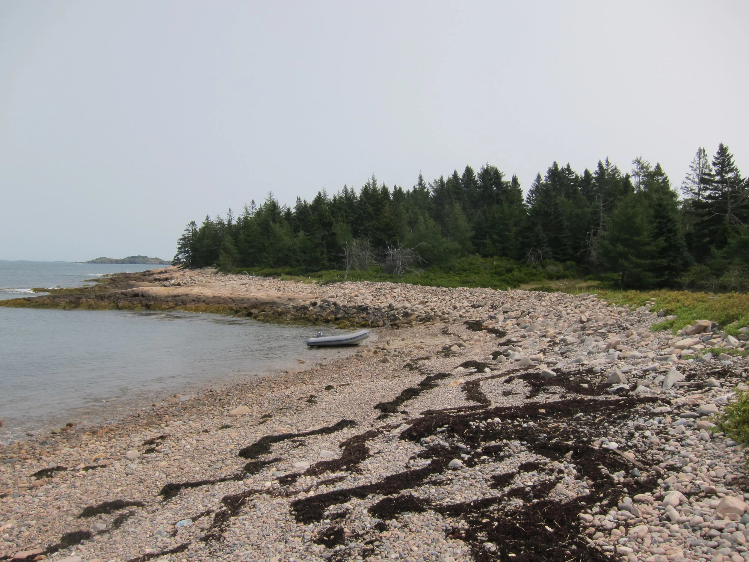
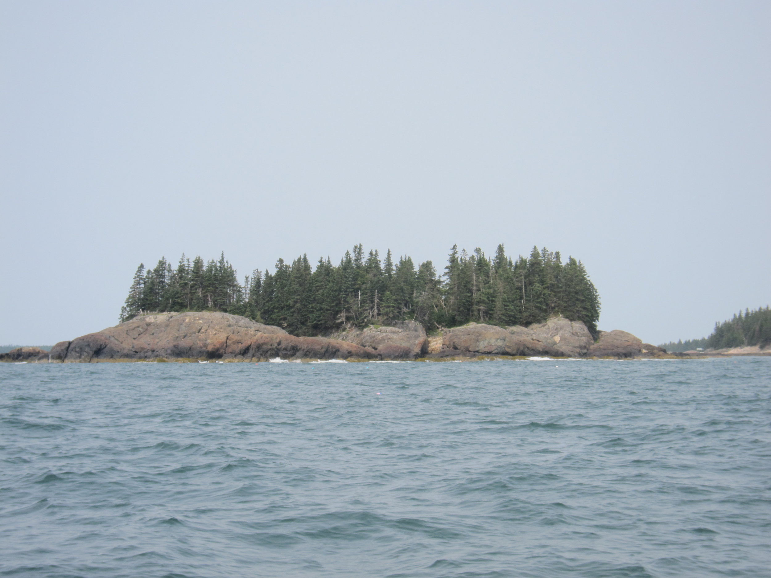
After Bois Bubert, I hit 4 MITA campsites on the way up into Jonesport. Green Island was right on the path north, and is a great camping option with kayaks, but much more difficult if you need to anchor a boat and take a dinghy ashore. It looks like a cool island to explore, and definitely worth spending a night or two. It feels very exposed to the open ocean, and for the same reason it is difficult to take a boat in there, it is a fantastic spot to experience downeast Maine. Duck Ledges was next on the list, and it reminded me a bit of Crow Island Ledges because it really didn’t seem to be a campsite at all. The best thing about Dick Ledges is there is a cabin on the island, and although you are not allowed to use it, you are allowed to use the privy, which makes camping there more palatable.
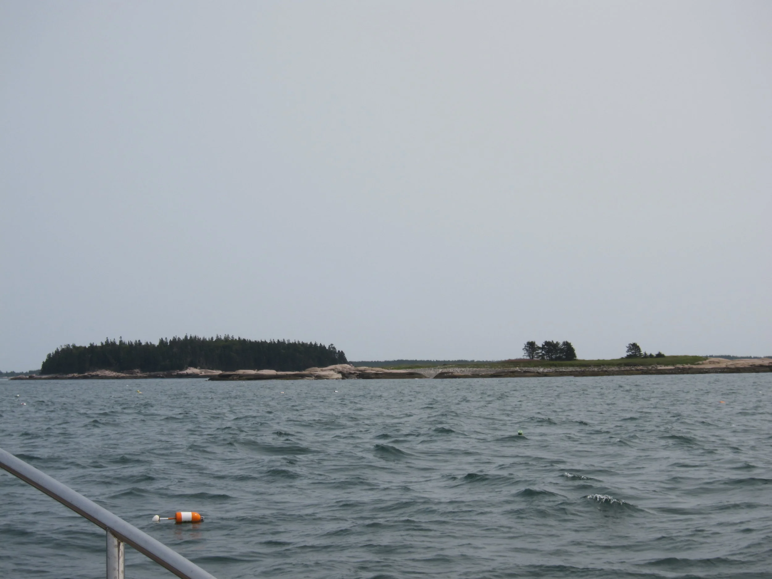
Steven Island is just east of the Duck Ledges and is a fantastic island. I could tell from the shore and my circumnavigation I would need to come back. I didn’t trust the anchorage, so didn’t spend the amount of time I needed to on the island. It is a Maine Coast Heritage Trust island, and access is allowed to the whole island, and I plan to return to explore it more exhaustively.
Mouse Island was the last before Jonesport, and I surprised to see it is almost part of the harbor of Jonesport. In fact, it is barely an island and could almost be considered a mainland campsite. There wasn’t much too it, and it didn’t seem worth it to anchor to walk around, so I just did a fly by and kept on my way.
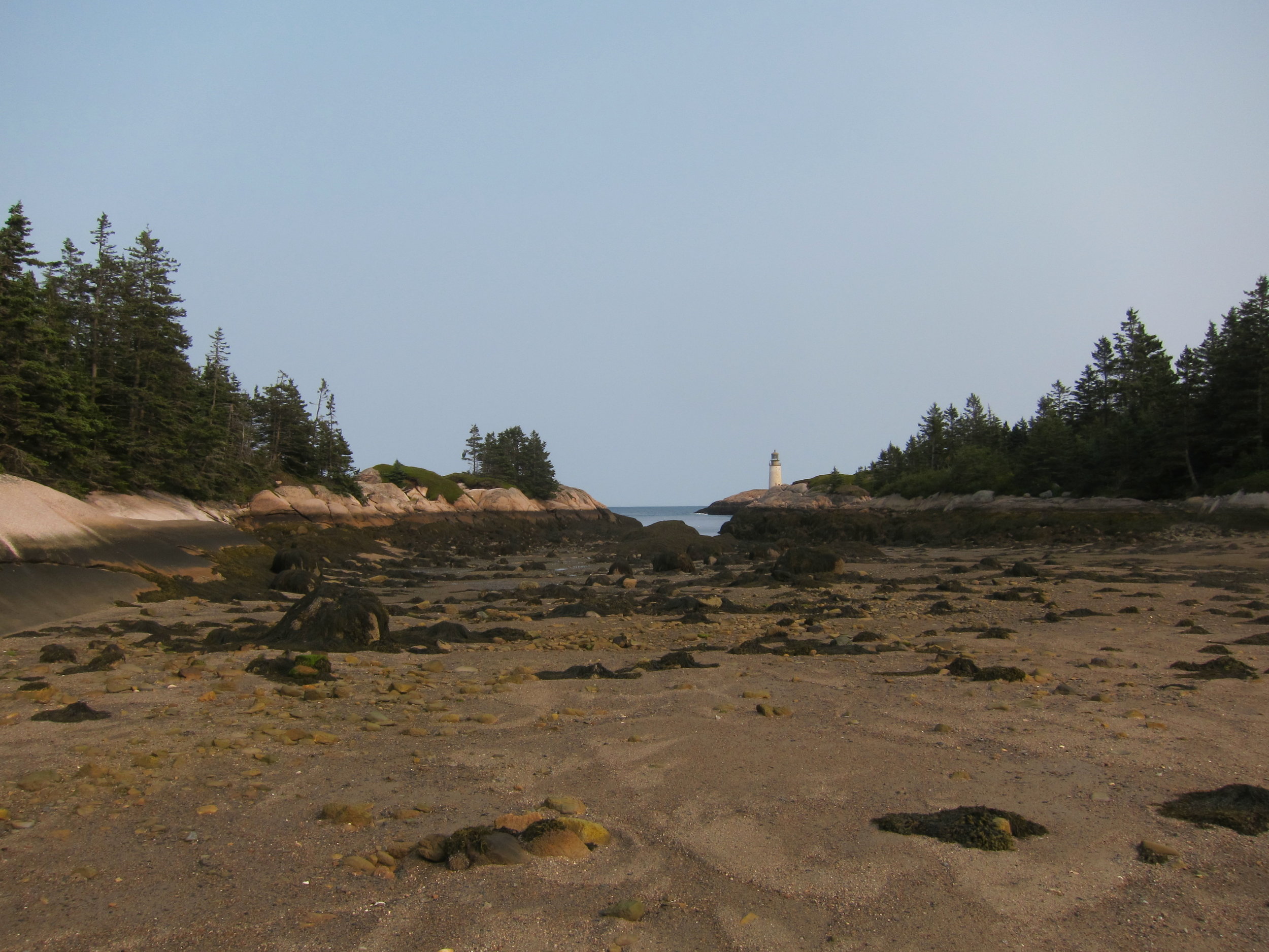
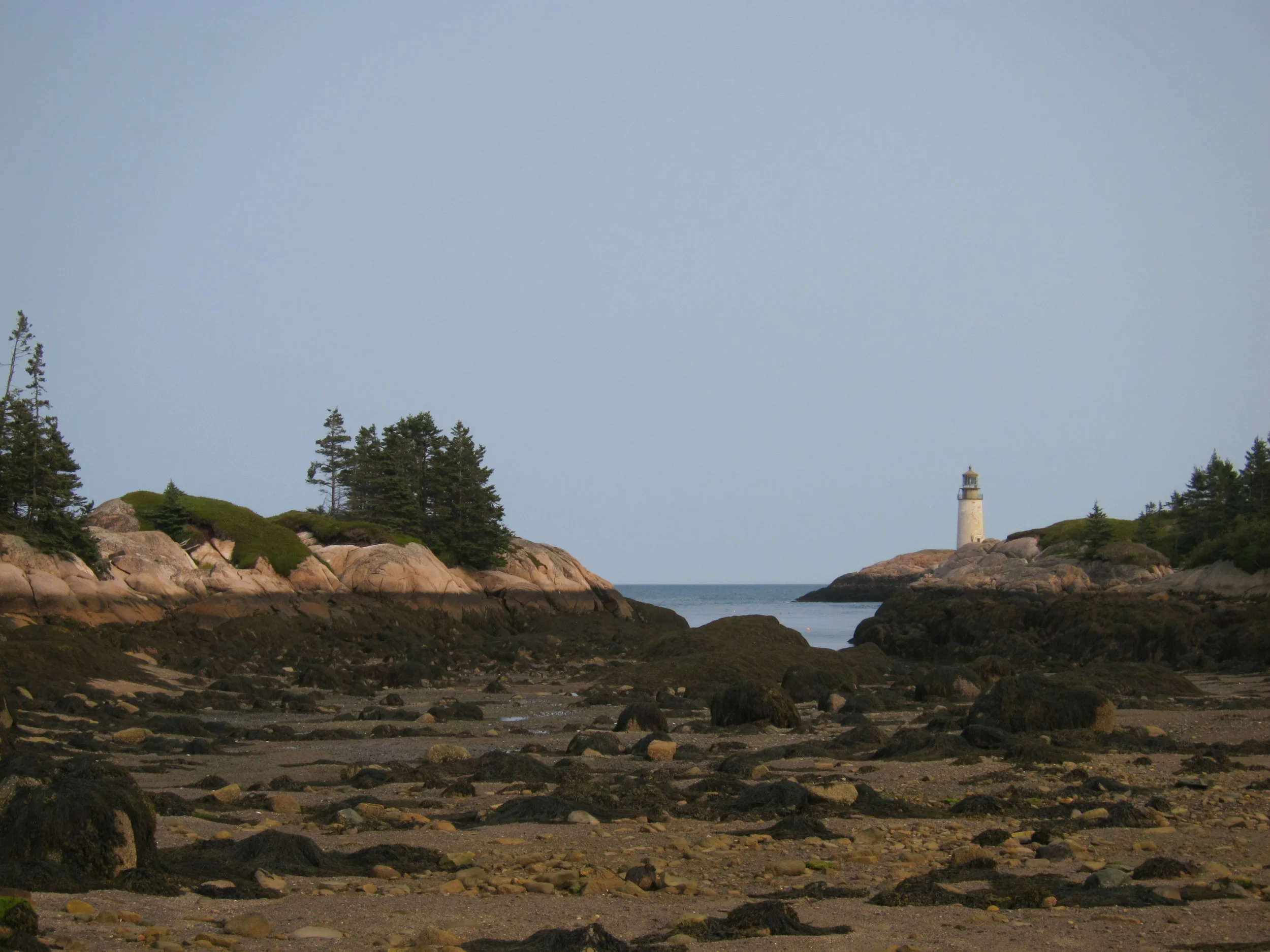
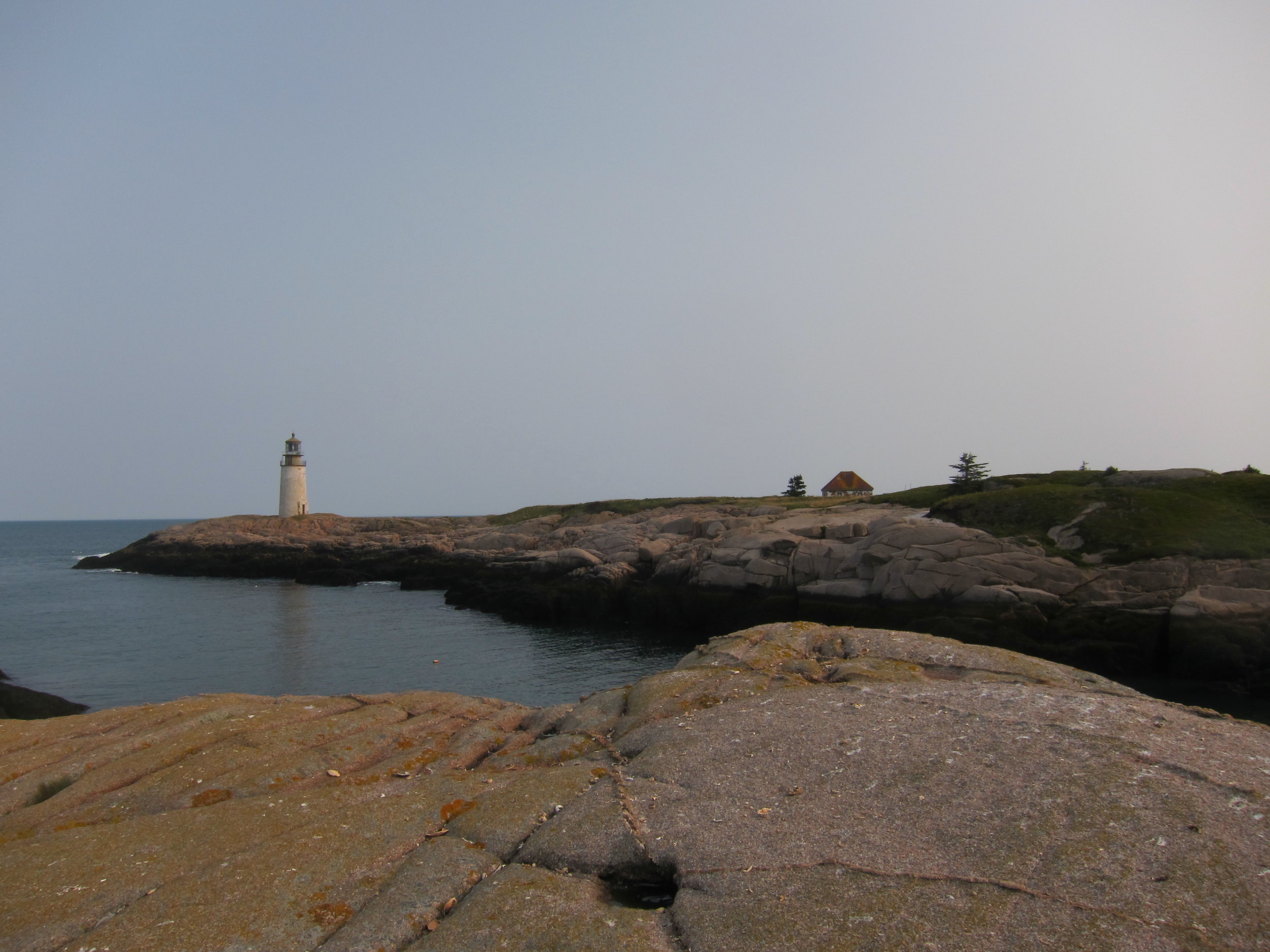
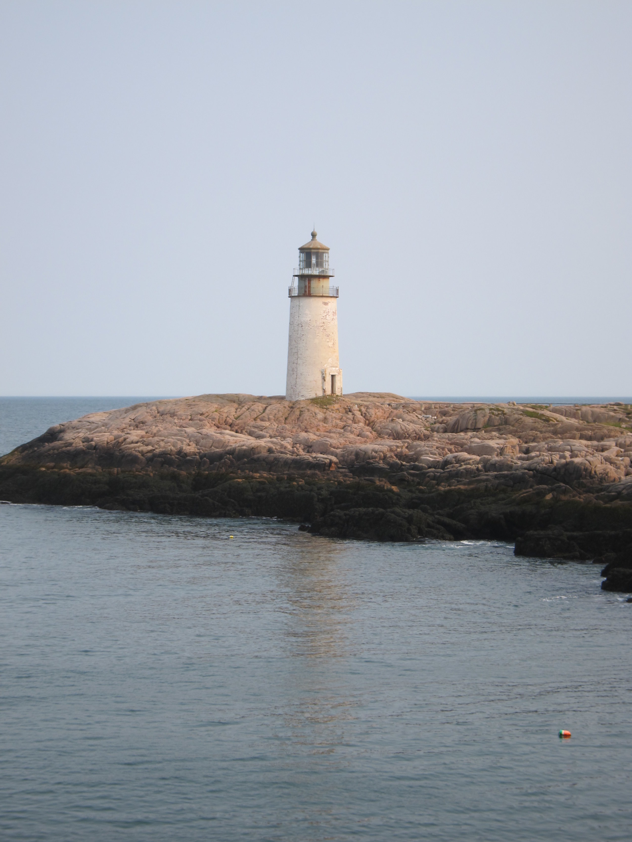
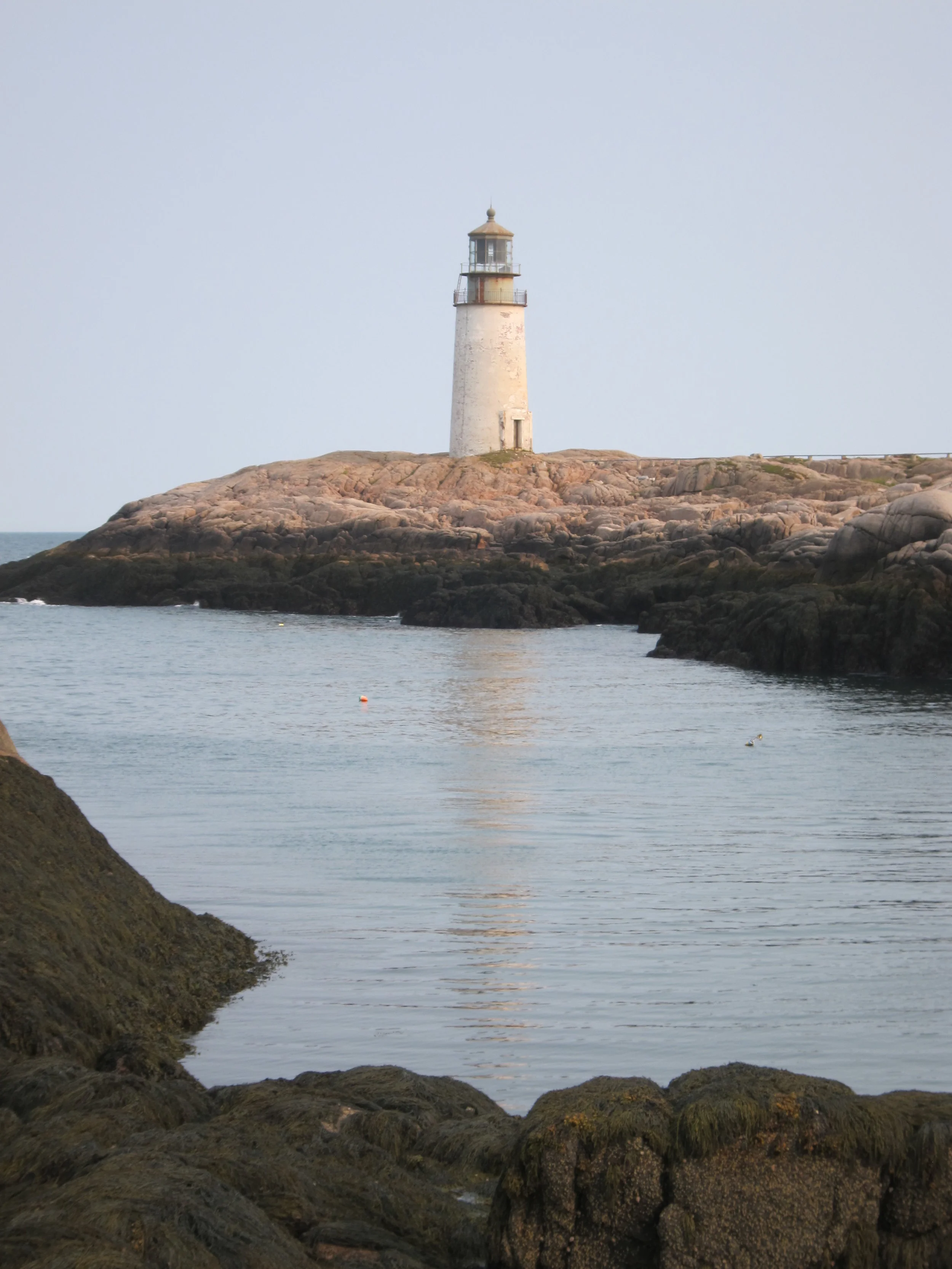
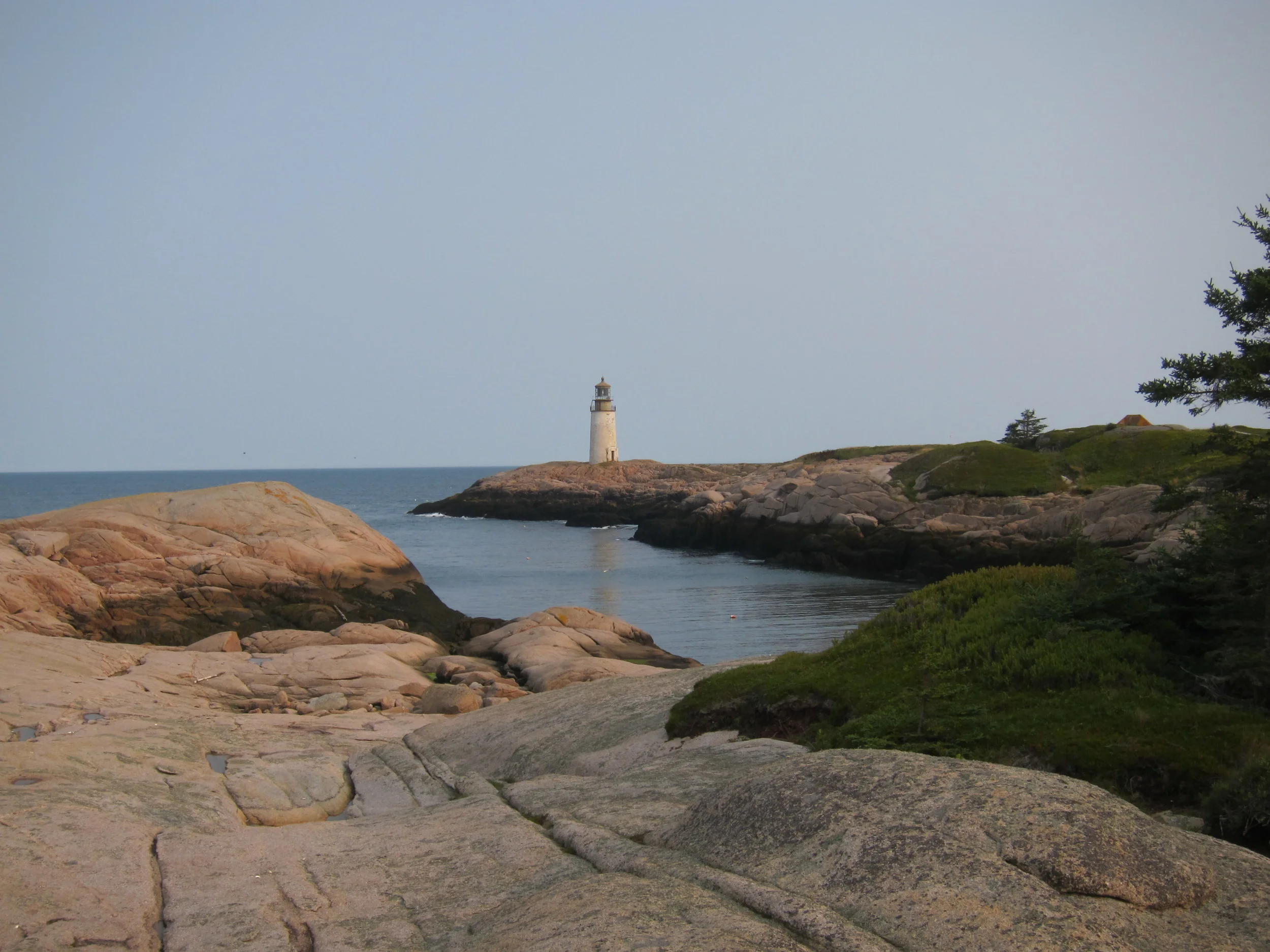
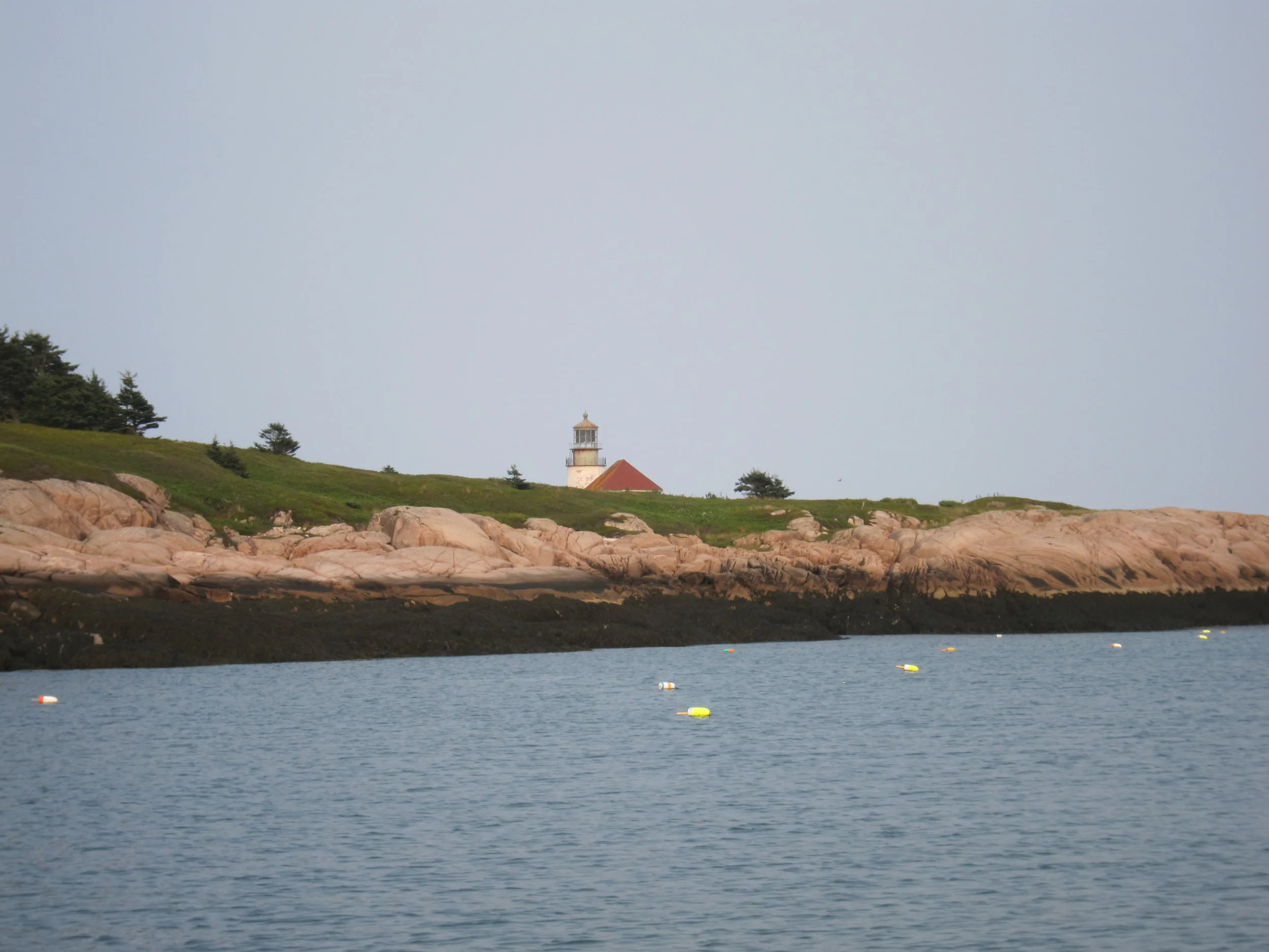
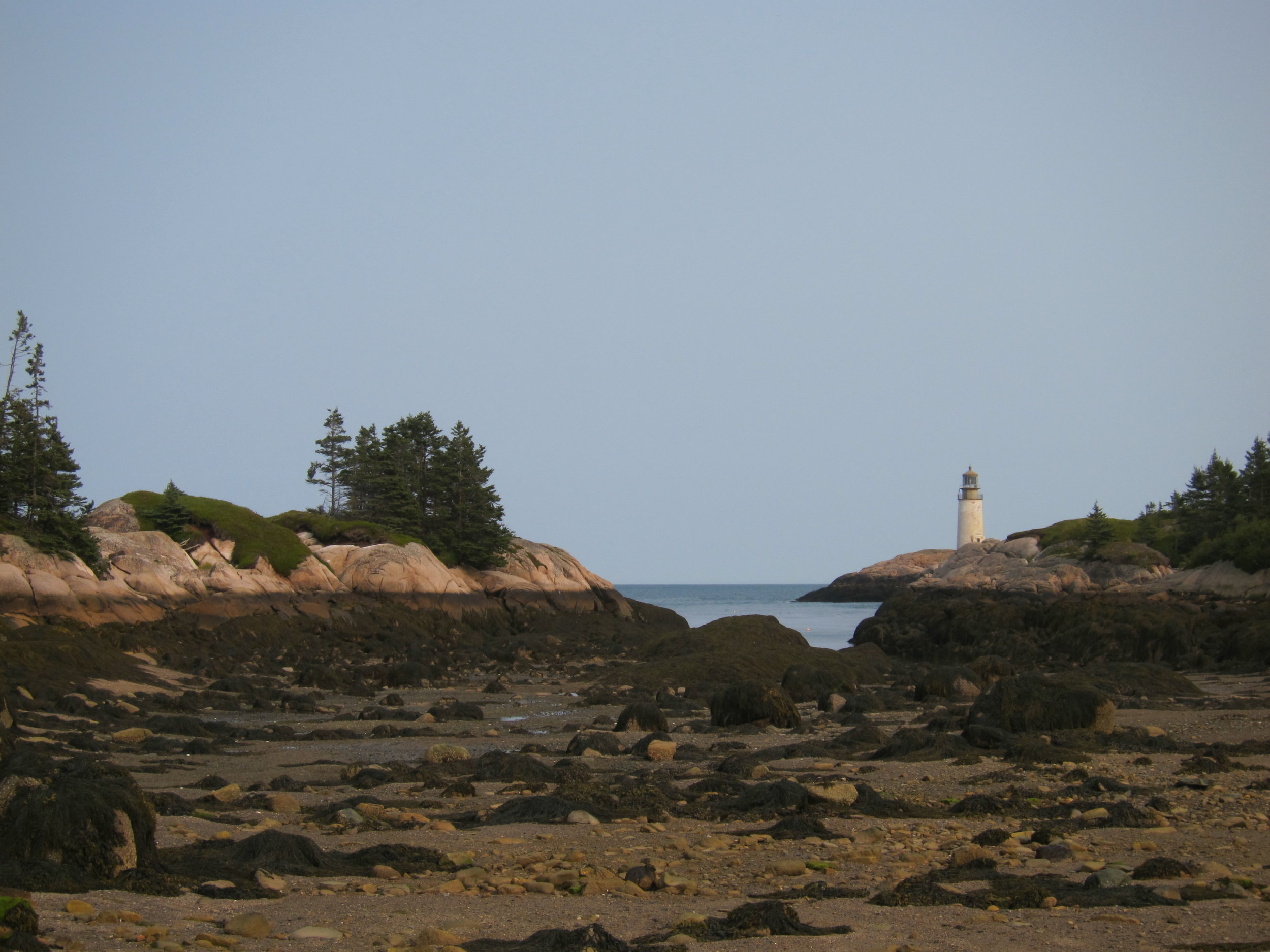
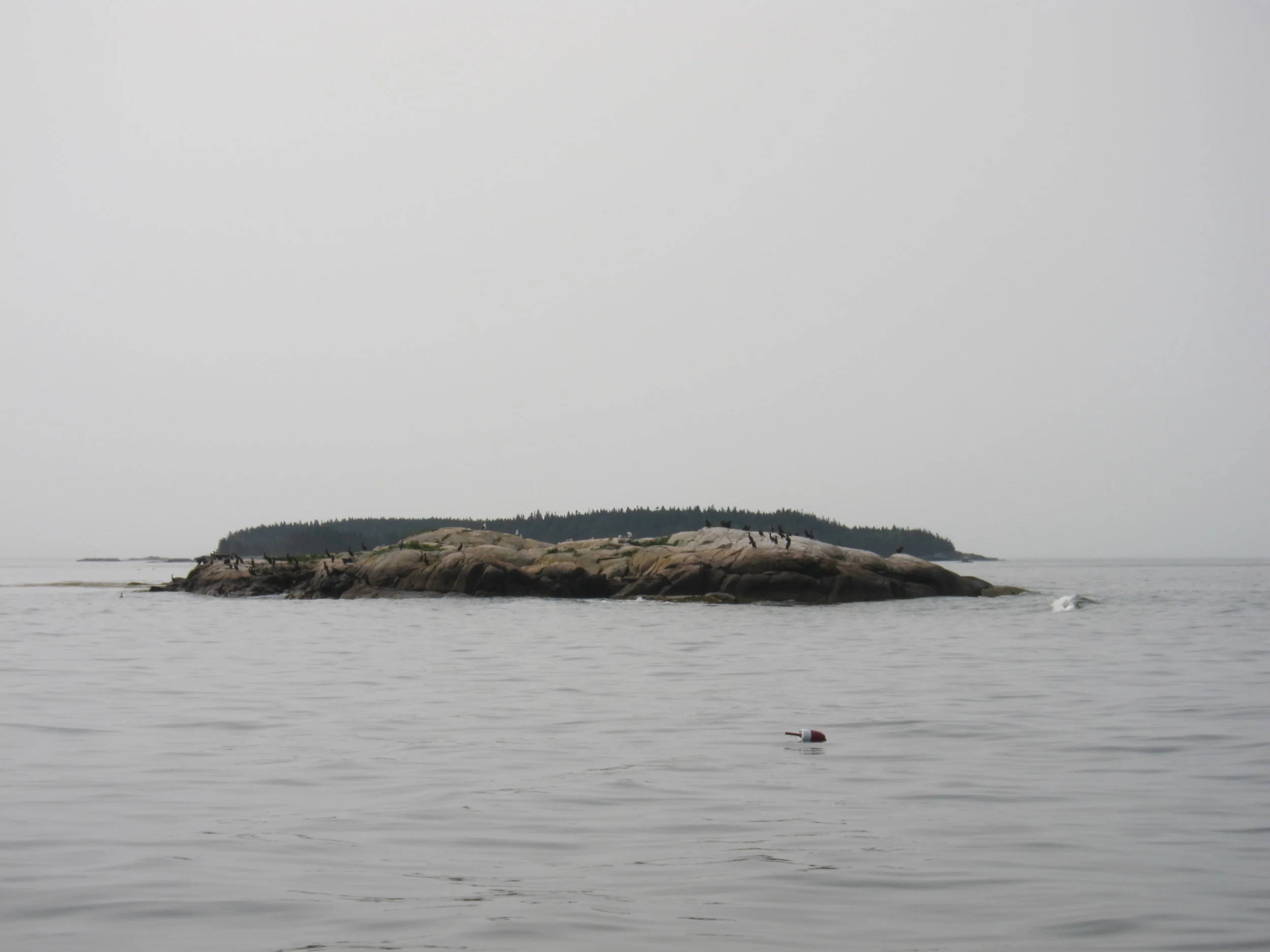
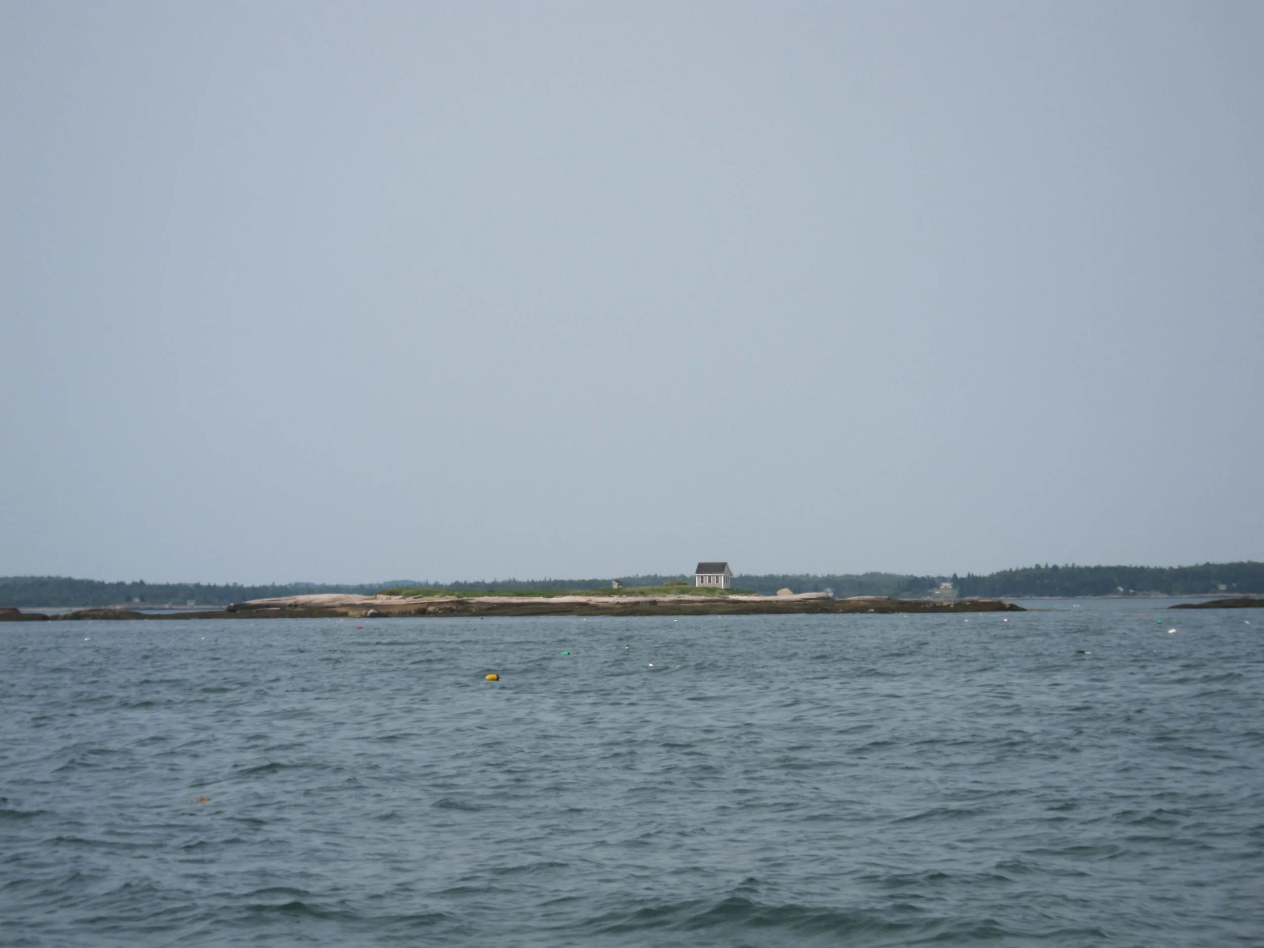
I didn’t stop in Jonesport because I wanted to find a suitable anchorage for the night, and there was one more island to check out protecting the anchorage in Mistake Harbor I had read about in the Cruising Guide. Mistake Harbor had 4 stars in the guide, and that is saying something, especially since there was no town or facilities. That means is is incredibly beautiful, and likely well protected, and it was. The Cruising Guide rarely disappoints. Little Water itself was not much more than a ledge, with some vegetation and growth on the top, but very little. It is one of the islands similar to Dry and Duck Harbor ledges I wouldn’t feel the need to step foot on them if it weren’t for the 30 in 30 challenge. But Little Water did provide key protection that makes Mistake Harbor so well protected and unique and form the harbor with two of the most beautiful islands I have ever visited. Although not on the trail. Mistake and Knight islands are spectacular and need to be explored. They are connected by a small bar at low tide, and that is where I landed. Because I had entered the channel from the north by Jonesport, I had not yet seen the Lighthouse on the southern tip of Mistake, so had one of those moments where your breath is taken away when I saw the lighthouse standing out on the rocks above the bar. I walked all over the southern tip of Knight, and then along the coast of mistake, and remembered why I was doing this.